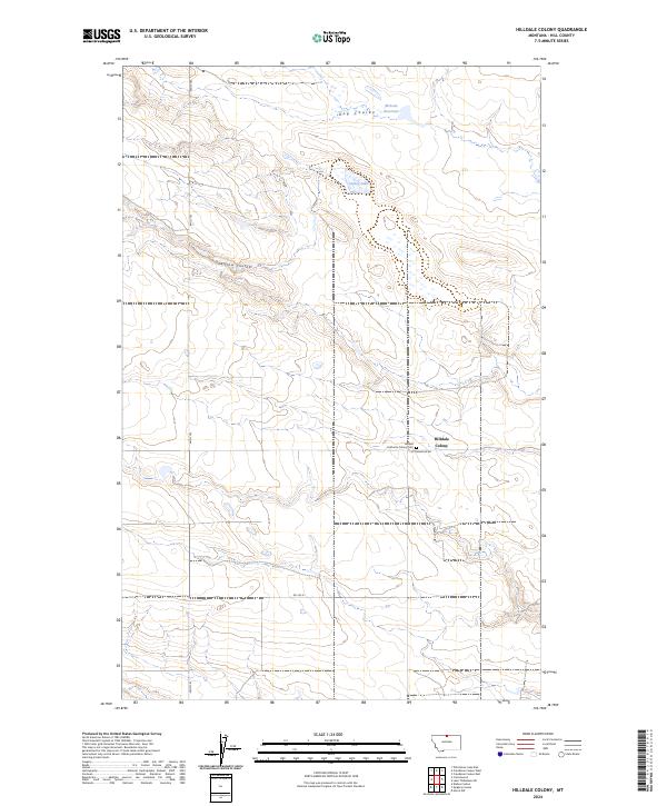
2024 Map of Hilldale Colony
USGS Topo · Published 2024About this map
Hilldale Colony serves as a primary point of interest in this section of Hill County, where agriculture and local geography are closely linked. The presence of the Hilldale Hutterite Colony Cem nearby offers a specific point of reference for genealogists and local historians documenting the colony's footprint. The landscape is defined by the drainage patterns of Dog Coulee and Willow Coulee, which traverse the high plains terrain toward local water catchments like McLean Reservoir and Grassy Lake. This survey illustrates the modern road network supporting this agricultural community, including Cottonwood Rd and Rd 140 N, which provide essential access across the township and range boundaries. The combination of established water resources and organized land use reflects the enduring character of this rural Montana settlement.
Find a feature on this map
15 named features on this map. Tap any name to fly to it.
Don’t see what you’re looking for? This feature index may not catch every label — zoom into the map to look around manually.
Map Details
Editions of this 2024 Hilldale Colony Map
This is the sole edition of this map. No revisions or reprints were ever made.
