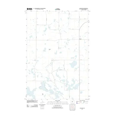
2012 Map of Hillhead
USGS Topo · Published 2012About this map
Hillhead sits within a landscape defined by an extensive network of prairie potholes and glacial lakes in northeastern South Dakota. The topography is punctuated by prominent elevations such as Pleasant Peak and Six Mile Hill, while the surrounding lowlands are dominated by named water bodies including Wise Spirit Lake, Silver Lake, and Ninemile Lake. Drainage is facilitated by a series of creeks and sloughs, most notably LaBelle Cr, Shortfoot Cr, and LaBelle Slough. This modern survey reveals a highly organized rural grid system, with roads like Boundary RD, Dumarce RWP RD, and 440th Ave dividing the terrain into traditional sections. The concentration of wetlands, such as East Slough and Two Island Lake, reflects the characteristic hydrology of the Marshall County region, providing a detailed look at the area's natural drainage patterns before they reach the larger prairie basins.
Find a feature on this map
30 named features on this map. Tap any name to fly to it.
Don’t see what you’re looking for? This feature index may not catch every label — zoom into the map to look around manually.
Map Details
Editions of this 2012 Hillhead Map
This is the sole edition of this map. No revisions or reprints were ever made.
Other maps of this area

1953 · Milbank
USGS Topo · 1:250,000

1954 · Kidder SE
USGS Topo · 1:24,000

1956 · Havana
USGS Topo · 1:24,000

1958 · Milbank
USGS Topo · 1:250,000

1958 · Hillhead
USGS Topo · 1:24,000

1958 · Veblen
USGS Topo · 1:24,000

1958 · Marlow
USGS Topo · 1:24,000

1958 · Veblen NE
USGS Topo · 1:24,000

1970 · Britton 4 NE
USGS Topo · 1:24,000

1970 · South Red Iron Lake
USGS Topo · 1:24,000