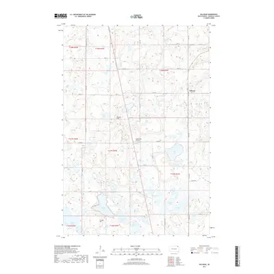
2017 Map of Hillhead
USGS Topo · Published 2017About this map
The Coteau des Prairies plateau dominates this northeastern South Dakota landscape, characterized by a dense concentration of glacial lakes and sloughs. The small settlement of Hillhead sits along the eastern edge of the quadrangle, serving as a focal point in a region defined by its hydrography. Water bodies such as Wise Spirit Lake, Isabelle Lake, and Ninemile Lake are scattered throughout the township grid, often interspersed with wetlands like Stink Slough and La Belle Slough.
Find a feature on this map
40 named features on this map. Tap any name to fly to it.
Don’t see what you’re looking for? This feature index may not catch every label — zoom into the map to look around manually.
Map Details
Editions of this 2017 Hillhead Map
This is the sole edition of this map. No revisions or reprints were ever made.
Other maps of this area

1953 · Milbank
USGS Topo · 1:250,000

1954 · Kidder SE
USGS Topo · 1:24,000

1956 · Havana
USGS Topo · 1:24,000

1958 · Milbank
USGS Topo · 1:250,000

1958 · Hillhead
USGS Topo · 1:24,000

1958 · Veblen
USGS Topo · 1:24,000

1958 · Marlow
USGS Topo · 1:24,000

1958 · Veblen NE
USGS Topo · 1:24,000

1970 · Britton 4 NE
USGS Topo · 1:24,000

1970 · South Red Iron Lake
USGS Topo · 1:24,000