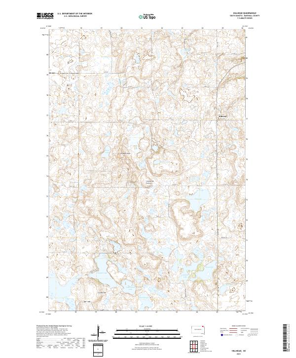
2021 Map of Hillhead
USGS Topo · Published 2021About this map
Hillhead stands as the primary settlement within this prairie landscape in northeast South Dakota, positioned at the intersection of 441st Ave and 107th St. The terrain is defined by the Coteau des Prairies, a high plateau characterized by numerous glacial depressions that have formed an intricate network of wetlands and lakes. Significant water bodies such as Silver Lake, Ninemile Lake, and Flat Lake dot the grid-patterned countryside, while prominent elevations like Pleasant Peak and Six Mile Hill provide vertical relief in this predominantly agricultural region. The drainage patterns of La Belle Cr and Shortfoot Cr weave through the township divisions, reflecting a landscape where water management and road networks are essential to the rural infrastructure.
Find a feature on this map
41 named features on this map. Tap any name to fly to it.
Don’t see what you’re looking for? This feature index may not catch every label — zoom into the map to look around manually.
Map Details
Editions of this 2021 Hillhead Map
This is the sole edition of this map. No revisions or reprints were ever made.
Other maps of this area

1953 · Milbank
USGS Topo · 1:250,000

1954 · Kidder SE
USGS Topo · 1:24,000

1956 · Havana
USGS Topo · 1:24,000

1958 · Milbank
USGS Topo · 1:250,000

1958 · Hillhead
USGS Topo · 1:24,000

1958 · Veblen
USGS Topo · 1:24,000

1958 · Marlow
USGS Topo · 1:24,000

1958 · Veblen NE
USGS Topo · 1:24,000

1970 · Britton 4 NE
USGS Topo · 1:24,000

1970 · South Red Iron Lake
USGS Topo · 1:24,000