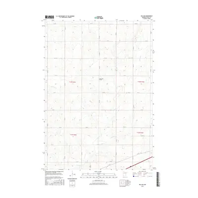
2016 Map of Hills NE
USGS Topo · Published 2016About this map
The Coteau des Prairies plateau dominates this section of Rock County, shaping the drainage of numerous small watercourses across the Minnesota prairie. The landscape is defined by the headwaters and meandering paths of Beaver Cr, Little Beaver Cr, and Springwater Cr, which carve subtle valleys into the upland terrain. This 2016 survey illustrates the persistent agricultural grid of the region, where a dense network of local roads such as Co Hwy 20 and Co Hwy 5 serves the scattered farmsteads of townships T103N R46W and T102N R45W. The map captures the intersection of traditional land survey boundaries with the natural contours of the Coteau, showing the relationship between modern transit routes like Co Hwy 4 and the underlying topography of the southwestern corner of the state.
Find a feature on this map
37 named features on this map. Tap any name to fly to it.
Don’t see what you’re looking for? This feature index may not catch every label — zoom into the map to look around manually.
Map Details
Editions of this 2016 Hills NE Map
This is the sole edition of this map. No revisions or reprints were ever made.
Other maps of this area

1955 · Sioux Falls
USGS Topo · 1:250,000

1958 · Sioux Falls
USGS Topo · 1:250,000

1967 · Valley Springs
USGS Topo · 1:24,000

1967 · Edgerton South
USGS Topo · 1:24,000

1967 · Garretson East
USGS Topo · 1:24,000

1967 · Hills
USGS Topo · 1:24,000

1967 · Jasper SE
USGS Topo · 1:24,000

1967 · Hills NE
USGS Topo · 1:24,000

1967 · Jasper
USGS Topo · 1:24,000

1967 · Ash Creek
USGS Topo · 1:24,000
Featured Places
- Mound Township, MN
- Springwater Township, MN
- Luverne Township, MN
- Beaver Creek Township, MN
- Rock County, MN