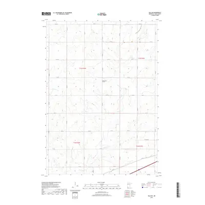
2019 Map of Hills NE
USGS Topo · Published 2019About this map
Coteau des Prairies, a vast highland plateau, defines the landscape of this southwestern Minnesota survey. The terrain is deeply inscribed by the drainage systems of Beaver Cr, Little Beaver Cr, and Springwater Cr, which meander through a geometric grid of rural roads. This 2019 data illustrates the persistent township and range structure, specifically the intersection of t103n r46w and t103n r45w, showcasing a modern agricultural environment still governed by nineteenth-century land divisions. A notable recreational corridor, the Northern Tall Grass Prairie Trail, cuts across the northeastern section, providing a contemporary layer to the historical prairie landscape. The density of section lines and county highways like Co Hwy 11 and Co Hwy 20 reveals the systematic organization of Rock County's rural communities.
Find a feature on this map
33 named features on this map. Tap any name to fly to it.
Don’t see what you’re looking for? This feature index may not catch every label — zoom into the map to look around manually.
Map Details
Editions of this 2019 Hills NE Map
This is the sole edition of this map. No revisions or reprints were ever made.
Other maps of this area

1955 · Sioux Falls
USGS Topo · 1:250,000

1958 · Sioux Falls
USGS Topo · 1:250,000

1967 · Valley Springs
USGS Topo · 1:24,000

1967 · Edgerton South
USGS Topo · 1:24,000

1967 · Garretson East
USGS Topo · 1:24,000

1967 · Hills
USGS Topo · 1:24,000

1967 · Jasper SE
USGS Topo · 1:24,000

1967 · Hills NE
USGS Topo · 1:24,000

1967 · Jasper
USGS Topo · 1:24,000

1967 · Ash Creek
USGS Topo · 1:24,000
Featured Places
- Mound Township, MN
- Springwater Township, MN
- Luverne Township, MN
- Beaver Creek Township, MN
- Rock County, MN