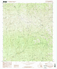
1985 Map of Hillsboro Peak
USGS Topo · Published 1985About this map
The high crest of the Black Range dominates this mid-1980s survey, marking the jagged boundary between Grant and Sierra counties. Centered on the towering Hillsboro Peak, the map documents a landscape defined by sharp drainages like Animas Canyon and Gallinas Canyon within the Gila National Forest. This era shows the preservation of the Aldo Leopold Wilderness side-by-side with the region's extractive history, evidenced by Mines scattered near Iron Creek Campgrounds.
Find a feature on this map
44 named features on this map. Tap any name to fly to it.
Don’t see what you’re looking for? This feature index may not catch every label — zoom into the map to look around manually.
Map Details
Editions of this 1985 Hillsboro Peak Map
2 editions found
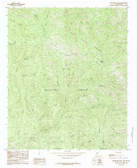
Other maps of this area

1935 · Hillsboro
USGS Topo · 1:48,000

1940 · Hillsboro
USGS Topo · 1:62,500

1954 · Tularosa
USGS Topo · 1:250,000

1955 · Las Cruces
USGS Topo · 1:250,000

1956 · San Lorenzo
USGS Topo · 1:62,500

1958 · Las Cruces
USGS Topo · 1:250,000

1958 · Tularosa
USGS Topo · 1:250,000
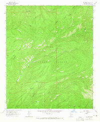
1963 · Hay Mesa
USGS Topo · 1:24,000

1963 · Victoria Park
USGS Topo · 1:24,000

1963 · Apache Peak
USGS Topo · 1:24,000