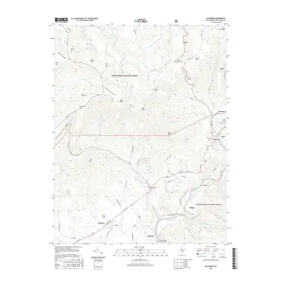
2016 Map of Hillsboro
USGS Topo · Published 2016About this map
Little Levels provides a unique break in the high-elevation landscape of the Monongahela National Forest, where the topography softens to support the settlements of Hillsboro and Mill Point. This area is defined by its complex hydrology and karst features, evidenced by McNeil Spring, Beard Spring, and Blue Spring emerging at the base of Little Mtn. To the north, the terrain rises sharply toward High Rock and Bald Knob, while the Greenbrier River carves the eastern boundary.
Find a feature on this map
80 named features on this map. Tap any name to fly to it.
Don’t see what you’re looking for? This feature index may not catch every label — zoom into the map to look around manually.
Map Details
Editions of this 2016 Hillsboro Map
This is the sole edition of this map. No revisions or reprints were ever made.
Other maps of this area

1891 · Huntersville
USGS Topo · 1:125,000

1894 · Huntersville
USGS Topo · 1:125,000

1915 · Webster Springs
USGS Topo · 1:48,000

1918 · Webster Springs
USGS Topo · 1:62,500

1923 · Lobelia
USGS Topo · 1:48,000

1923 · Marlinton
USGS Topo · 1:48,000

1923 · Mingo
USGS Topo · 1:48,000

1925 · Mingo
USGS Topo · 1:62,500

1925 · Marlinton
USGS Topo · 1:62,500

1925 · Lobelia
USGS Topo · 1:62,500