
1925 Map of Mingo
USGS Topo · Published 1925About this map
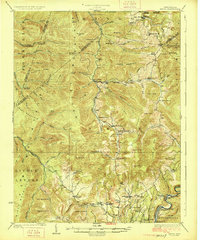
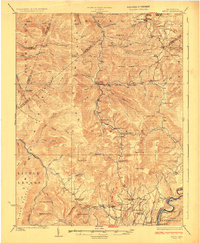
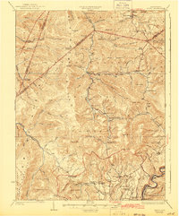
Huntersville and the surrounding high ridges of the Allegheny Mountains define this 1920s landscape at the headwaters of the Greenbrier River. The topography is dominated by massive landforms like Gauley Mountain and Valley Mountain, which historically served as natural barriers between the drainage basins of the Gauley, Elk, and Greenbrier systems. A dense network of one-room schoolhouses, including the Hannah School, Swacker School, and Spruce School, indicates a dispersed but active rural population during the early twentieth century.
Find a feature on this map
79 named features on this map. Tap any name to fly to it.
Don’t see what you’re looking for? This feature index may not catch every label — zoom into the map to look around manually.
Map Details
Editions of this 1925 Mingo Map
4 editions found
Other maps of this area

1889 · Beverly
USGS Topo · 1:125,000

1891 · Huntersville
USGS Topo · 1:125,000

1892 · Beverly
USGS Topo · 1:125,000

1893 · Buckhannon
USGS Topo · 1:125,000

1894 · Huntersville
USGS Topo · 1:125,000

1896 · Buckhannon
USGS Topo · 1:125,000

1897 · Buckhannon
USGS Topo · 1:125,000

1901 · Monterey
USGS Topo · 1:125,000

1913 · Hacker Valley
USGS Topo · 1:48,000

1913 · Pickens
USGS Topo · 1:48,000