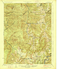
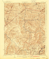
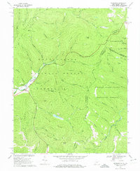
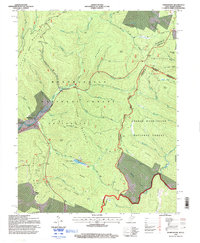
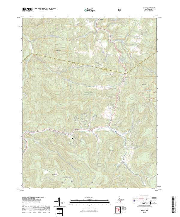
1925 Map of Mingo
USGS Topo · Published 1925About this map
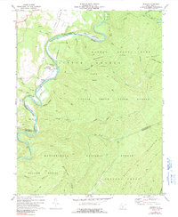
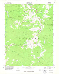
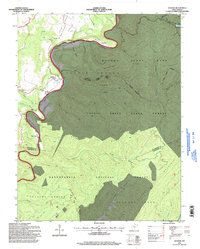
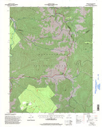
The high ridges of Gauley Mountain and Cheat Mountain define this mid-1920s landscape in Pocahontas and Randolph counties. The settlement of Huntersville anchors the southeast corner near the Greenbrier River, while smaller mountain communities like Slaty Fork and Mace are connected by winding roads and the industrial presence of the Lumber RR. This era represents a period of significant timber extraction, evidenced by the numerous logging railroads and lumber runs threading through the narrow valleys.
Find a feature on this map
90 named features on this map. Tap any name to fly to it.
Don’t see what you’re looking for? This feature index may not catch every label — zoom into the map to look around manually.
Map Details
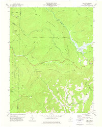
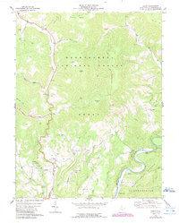
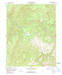
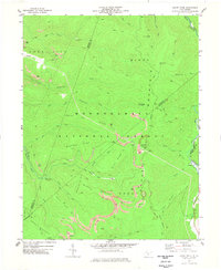
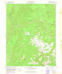
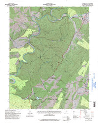
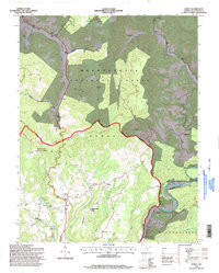
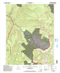
Editions of this 1925 Mingo Map
4 editions found
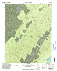
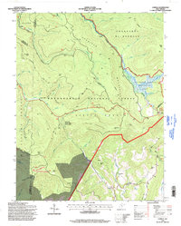
Historical Maps of Marlinton Through Time
40 maps found
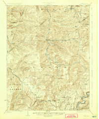
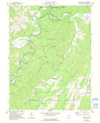
1923 Mingo
Pocahontas County, WV
1925 Mingo
Pocahontas County, WV
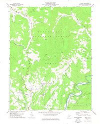
1961 Paddy Knob
Pocahontas County, WV
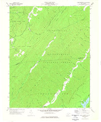
1962 Minnehaha Springs
Pocahontas County, WV
1967 Webster Springs SE
Pocahontas County, WV
1969 Thornwood
Pocahontas County, WV
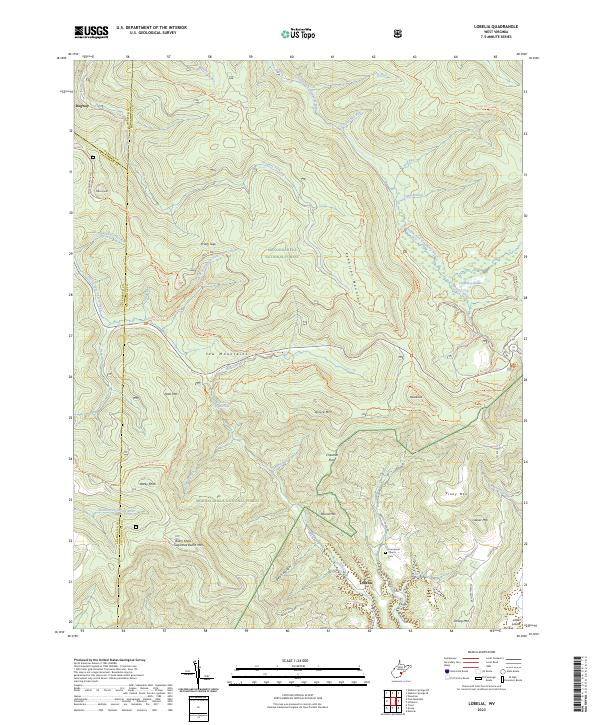
1973 Lobelia
Pocahontas County, WV
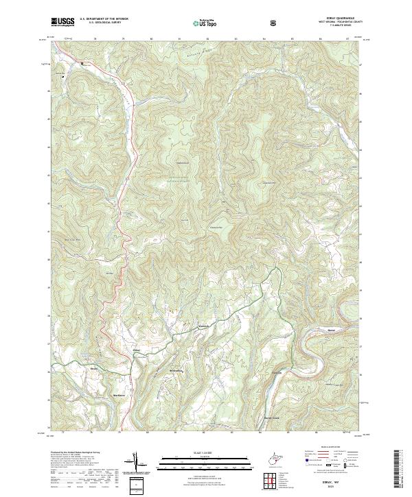
1974 Edray
Pocahontas County, WV
1974 Woodrow
Pocahontas County, WV
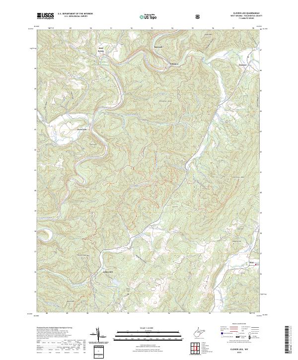
1977 Clover Lick
Pocahontas County, WV
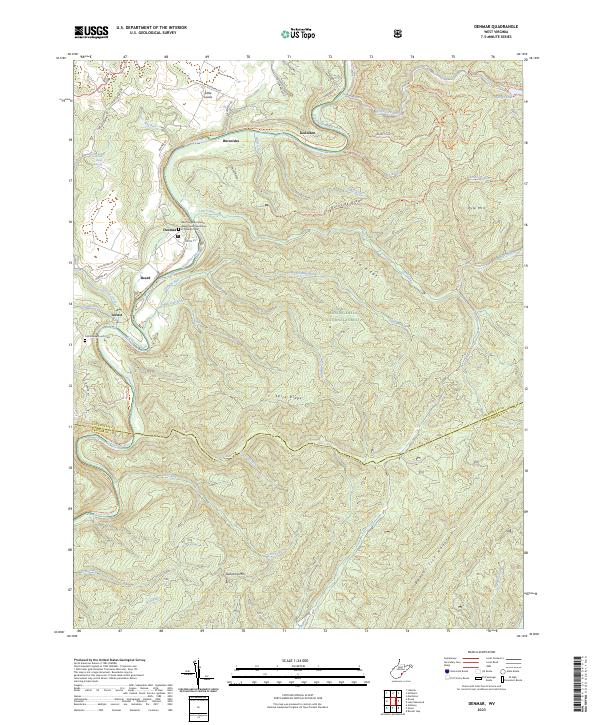
1977 Denmar
Pocahontas County, WV
1977 Edray
Pocahontas County, WV
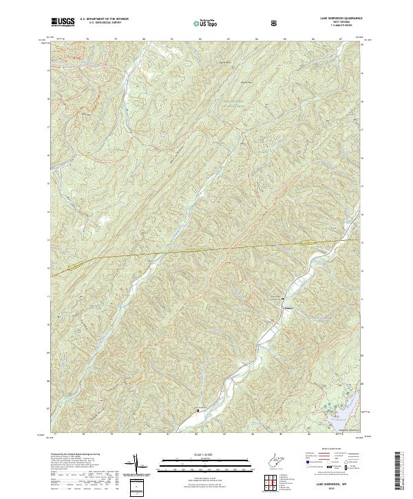
1977 Lake Sherwood
Pocahontas County, WV
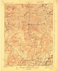
1977 Mingo
Pocahontas County, WV
1977 Sharp Knob
Pocahontas County, WV
1977 Woodrow
Pocahontas County, WV
1995 Clover Lick
Pocahontas County, WV
1995 Denmar
Pocahontas County, WV
1995 Edray
Pocahontas County, WV
1995 Lake Sherwood
Pocahontas County, WV
1995 Lobelia
Pocahontas County, WV
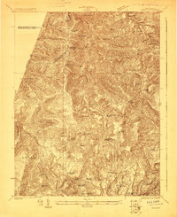
1995 Mingo
Pocahontas County, WV
1995 Minnehaha Springs
Pocahontas County, WV
1995 Paddy Knob
Pocahontas County, WV
1995 Sharp Knob
Pocahontas County, WV
1995 Thornwood
Pocahontas County, WV

1995 Webster Springs SE
Pocahontas County, WV
1995 Woodrow
Pocahontas County, WV
2023 Clover Lick
Pocahontas County, WV
2023 Denmar
Pocahontas County, WV
2023 Edray
Pocahontas County, WV
2023 Lake Sherwood
Pocahontas County, WV
2023 Lobelia
Pocahontas County, WV
2023 Mingo
Pocahontas County, WV
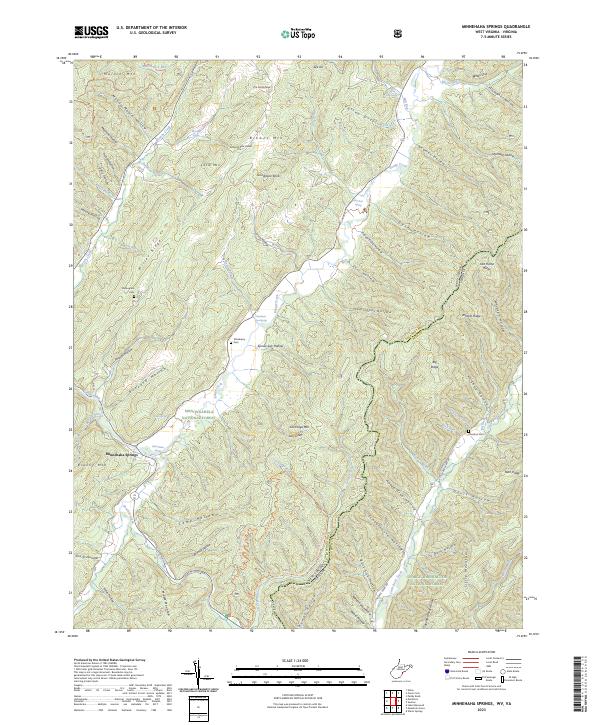
2023 Minnehaha Springs
Pocahontas County, WV
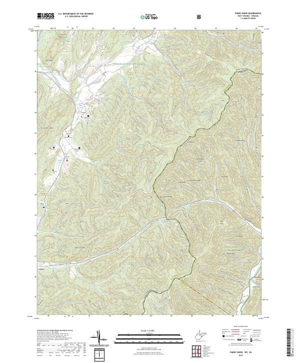
2023 Paddy Knob
Pocahontas County, WV
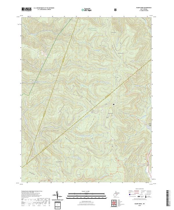
2023 Sharp Knob
Pocahontas County, WV
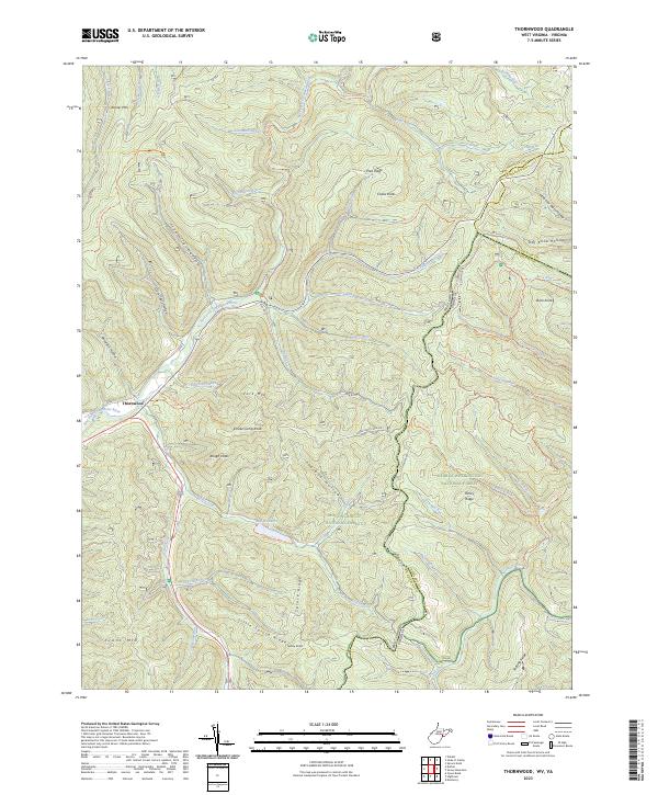
2023 Thornwood
Pocahontas County, WV
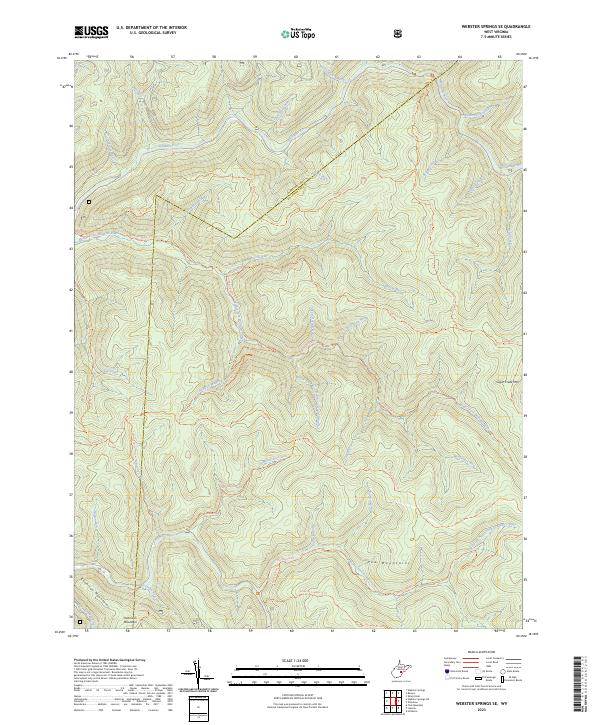
2023 Webster Springs SE
Pocahontas County, WV
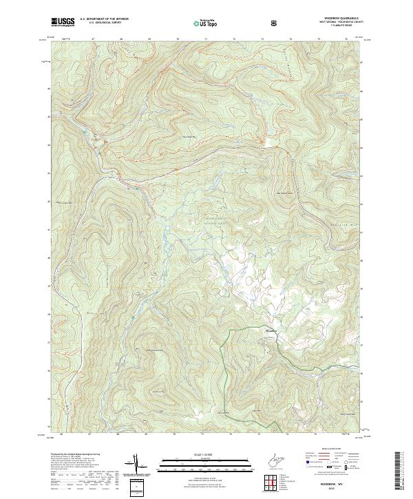
2023 Woodrow
Pocahontas County, WV