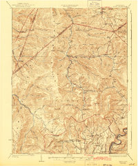
1925 Map of Mingo
USGS Topo · Published 1942About this map
The Monongahela National Forest dominates this landscape, surveyed in 1923 and reflecting the high-elevation terrain of the Allegheny Mountains. The map documents a scattered network of rural schools and mountain parishes that supported isolated timber and farming communities. In the south, the village of Huntersville stands near the winding Knapps Creek, while the Chesapeake and Ohio railroad follows the water's edge.
Find a feature on this map
79 named features on this map. Tap any name to fly to it.
Don’t see what you’re looking for? This feature index may not catch every label — zoom into the map to look around manually.
Map Details
Editions of this 1925 Mingo Map
4 editions found

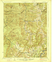
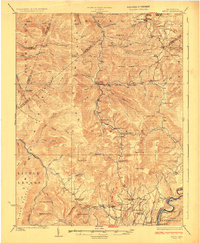
Other maps of this area

1889 · Beverly
USGS Topo · 1:125,000

1891 · Huntersville
USGS Topo · 1:125,000

1892 · Beverly
USGS Topo · 1:125,000

1893 · Buckhannon
USGS Topo · 1:125,000

1894 · Huntersville
USGS Topo · 1:125,000

1896 · Buckhannon
USGS Topo · 1:125,000

1897 · Buckhannon
USGS Topo · 1:125,000

1901 · Monterey
USGS Topo · 1:125,000

1913 · Hacker Valley
USGS Topo · 1:48,000

1913 · Pickens
USGS Topo · 1:48,000