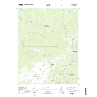
2019 Map of Hillsboro
USGS Topo · Published 2019About this map
Hillsboro and its surrounding agricultural plains, known as the Little Levels, anchor this 2019 survey of Pocahontas County. The landscape is defined by the sharp transition between the fertile valley floors and the heavily forested ridges of the Monongahela National Forest. Significant water features like the Greenbrier River and Williams River carve through the terrain, while the Greenbrier River Rail-Trail follows the river corridor, marking the legacy of the region's former railroad infrastructure.
Find a feature on this map
91 named features on this map. Tap any name to fly to it.
Don’t see what you’re looking for? This feature index may not catch every label — zoom into the map to look around manually.
Map Details
Editions of this 2019 Hillsboro Map
This is the sole edition of this map. No revisions or reprints were ever made.
Other maps of this area

1891 · Huntersville
USGS Topo · 1:125,000

1894 · Huntersville
USGS Topo · 1:125,000

1915 · Webster Springs
USGS Topo · 1:48,000

1918 · Webster Springs
USGS Topo · 1:62,500

1923 · Lobelia
USGS Topo · 1:48,000

1923 · Marlinton
USGS Topo · 1:48,000

1923 · Mingo
USGS Topo · 1:48,000

1925 · Mingo
USGS Topo · 1:62,500

1925 · Marlinton
USGS Topo · 1:62,500

1925 · Lobelia
USGS Topo · 1:62,500