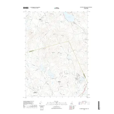
2018 Map of Hillsboro Upper Village
USGS Topo · Published 2018About this map
Bradford Center and Hillsboro Center serve as the primary hubs in this highland region of New Hampshire, where the border between Merrimack Co and Hillsborough Co cuts across a landscape defined by prominent peaks and scattered glacial ponds. The settlement pattern reflects the area’s early agrarian roots, with numerous small burial grounds such as Presbury Cem and Coolidge Cem situated near local family-named landmarks like Kimball Hill and Murdough Hill.
Find a feature on this map
96 named features on this map. Tap any name to fly to it.
Don’t see what you’re looking for? This feature index may not catch every label — zoom into the map to look around manually.
Map Details
Editions of this 2018 Hillsboro Upper Village Map
This is the sole edition of this map. No revisions or reprints were ever made.
Other maps of this area

1902 · Sunapee
USGS Topo · 1:62,500

1905 · Sunapee
USGS Topo · 1:62,500

1907 · Sunapee
USGS Topo · 1:62,500

1926 · Hillsboro
USGS Topo · 1:62,500

1928 · Mount Kearsarge
USGS Topo · 1:62,500

1929 · Hillsboro
USGS Topo · 1:62,500

1930 · Lovewell Mountain
USGS Topo · 1:62,500

1931 · Mount Kearsarge
USGS Topo · 1:62,500

1942 · Lovewell Mountain
USGS Topo · 1:62,500

1949 · Portland
USGS Topo · 1:250,000