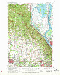
1961 Map of Hillsboro
USGS Topo · Published 1972About this map
The confluence of the Columbia River and Willamette River defines this 1961 landscape, where the agricultural flats of the Tualatin Valley meet the industrial and riparian corridors of the Pacific Northwest. Sauvie Island dominates the northeast, featuring Sturgeon Lake and the winding Gilbert River, while the Multnomah Channel separates the island's wildlife habitats from the rail-heavy shoreline at Linnton. Inland, the transition from rural farming to suburban growth is evident in settlements like Bethany and Orenco, with several landmark schools and churches serving these developing communities.
Find a feature on this map
136 named features on this map. Tap any name to fly to it.
Don’t see what you’re looking for? This feature index may not catch every label — zoom into the map to look around manually.
Map Details
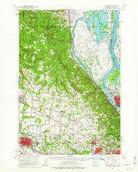
Editions of this 1961 Hillsboro Map
2 editions found
Other maps of this area

1897 · Portland
USGS Topo · 1:62,500

1905 · Portland
USGS Topo · 1:62,500

1914 · Oregon City
USGS Topo · 1:62,500

1915 · Hillsboro
USGS Topo · 1:62,500

1916 · Tualatin
USGS Topo · 1:62,500

1918 · Hillsboro
USGS Topo · 1:62,500

1922 · St. Helens
USGS Topo · 1:62,500

1939 · Oregon City
USGS Topo · 1:62,500

1939 · Tualatin
USGS Topo · 1:62,500

1940 · Tualatin
USGS Topo · 1:62,500