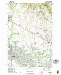
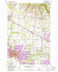
1990 Map of Hillsboro
USGS Topo · Published 1995About this map
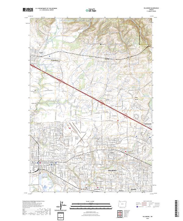
Hillsboro serves as the focal point of this Washington County landscape, which by the early 1990s shows a complex transition from agricultural roots to suburban expansion. The western edge is anchored by the Portland - Hillsboro Airport and the County Fairgrounds, while the surrounding terrain is dotted with older community centers like Orenco and West Union. Genealogists will find significant value in several burial grounds, including Helvetia Cemetery and the Tualatin Plains Cemetery.
Find a feature on this map
46 named features on this map. Tap any name to fly to it.
Don’t see what you’re looking for? This feature index may not catch every label — zoom into the map to look around manually.
Map Details
Editions of this 1990 Hillsboro Map
This is the sole edition of this map. No revisions or reprints were ever made.
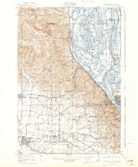
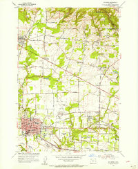
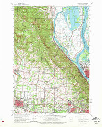
Historical Maps of Hillsboro Through Time
12 maps found

1915 Hillsboro
Washington County, OR
1918 Hillsboro
Washington County, OR

1940 Hillsboro
Washington County, OR
1954 Hillsboro
Washington County, OR
1961 Hillsboro
Washington County, OR
1961 Hillsboro
Washington County, OR
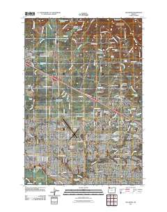
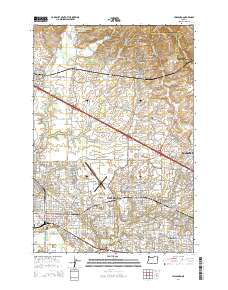
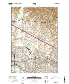
1990 Hillsboro
Washington County, OR
2011 Hillsboro
Washington County, OR
2014 Hillsboro
Washington County, OR

2017 Hillsboro
Washington County, OR
2020 Hillsboro
Washington County, OR
2023 Hillsboro
Washington County, OR