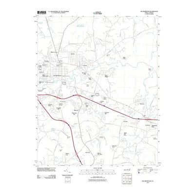
2010 Map of Hillsborough
USGS Topo · Published 2010About this map
Occoneechee Mountain and the nearby Panthers Den anchor the western edge of this landscape, where the Eno River winds past the historic core of Hillsborough. The 2010 survey shows a complex interface of old agricultural land and modern residential growth, from the established neighborhood of West Hillsborough to newer developments like Cornwallis Hills and Jappa Oaks.
Find a feature on this map
106 named features on this map. Tap any name to fly to it.
Don’t see what you’re looking for? This feature index may not catch every label — zoom into the map to look around manually.
Map Details
Editions of this 2010 Hillsborough Map
This is the sole edition of this map. No revisions or reprints were ever made.
Other maps of this area

1943 · Durham South
USGS Topo · 1:62,500

1946 · Chapel Hill
USGS Topo · 1:24,000

1947 · Chapel Hill
USGS Topo · 1:31,680

1951 · Durham South
USGS Topo · 1:62,500

1951 · Durham North
USGS Topo · 1:62,500

1953 · Raleigh
USGS Topo · 1:250,000

1953 · Greensboro
USGS Topo · 1:250,000

1954 · Greensboro
USGS Topo · 1:250,000

1954 · Raleigh
USGS Topo · 1:250,000

1962 · Greensboro
USGS Topo · 1:250,000