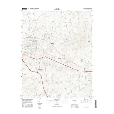
2016 Map of Hillsborough
USGS Topo · Published 2016About this map
The Governor Burke Grave stands as a focal point of local history in this area of Orange County, where the Eno River carves through a landscape defined by significant elevations like Occoneechee Mtn and Couch Mtn. This modern survey illustrates the suburban and rural balance surrounding Hillsborough, showing a network of settlements including Fairview, Mountain View, and New Hope. The terrain is marked by distinctive geological and water features, from the heights of Scarlett Hill to the waters of Lake Overlook and Piedmont Minerals Lake. The map details important local landmarks such as Mars Hill Cem and Maplewood Cem, alongside natural sites like Panthers Den and Cabes Ford. This coverage provides a clear view of the area's development near Duke Forest Rd and the Infinity Rd Raw Water Reservoir.
Find a feature on this map
211 named features on this map. Tap any name to fly to it.
Don’t see what you’re looking for? This feature index may not catch every label — zoom into the map to look around manually.
Map Details
Editions of this 2016 Hillsborough Map
This is the sole edition of this map. No revisions or reprints were ever made.
Other maps of this area

1943 · Durham South
USGS Topo · 1:62,500

1946 · Chapel Hill
USGS Topo · 1:24,000

1947 · Chapel Hill
USGS Topo · 1:31,680

1951 · Durham South
USGS Topo · 1:62,500

1951 · Durham North
USGS Topo · 1:62,500

1953 · Raleigh
USGS Topo · 1:250,000

1953 · Greensboro
USGS Topo · 1:250,000

1954 · Greensboro
USGS Topo · 1:250,000

1954 · Raleigh
USGS Topo · 1:250,000

1962 · Greensboro
USGS Topo · 1:250,000