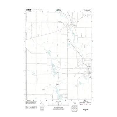
2011 Map of Hillsdale
USGS Topo · Published 2011About this map
The Saint Joseph River winds through the northern portion of this landscape, anchoring the settlement of Jonesville near the Mill Pond. This area of southern Michigan exhibits a transition from the urban centers of Hillsdale to the rural crossroads of Bankers. Local history is well-preserved through numerous burial grounds including Sunset View Cemetery and King Lake Cemetery, while the presence of the Hillsdale County Fairgrounds points to the region's long-standing role as a community and agricultural hub.
Find a feature on this map
84 named features on this map. Tap any name to fly to it.
Don’t see what you’re looking for? This feature index may not catch every label — zoom into the map to look around manually.
Map Details
Editions of this 2011 Hillsdale Map
This is the sole edition of this map. No revisions or reprints were ever made.
Other maps of this area

1948 · Spring Arbor
USGS Topo · 1:62,500

1948 · Homer
USGS Topo · 1:62,500

1949 · Homer
USGS Topo · 1:62,500

1949 · Spring Arbor
USGS Topo · 1:62,500

1953 · Fort Wayne
USGS Topo · 1:250,000

1956 · Fort Wayne
USGS Topo · 1:250,000

1958 · Grand Rapids
USGS Topo · 1:250,000

1959 · Hillsdale
USGS Topo · 1:24,000

1959 · Reading
USGS Topo · 1:24,000

1959 · North Adams
USGS Topo · 1:24,000