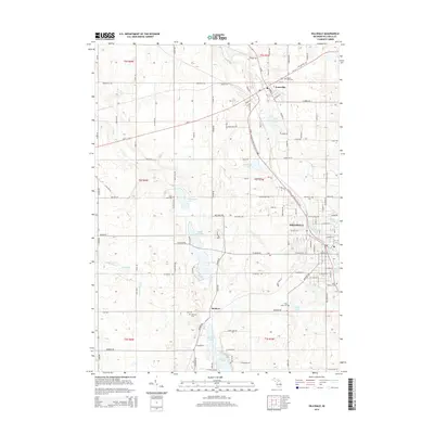
2014 Map of Hillsdale
USGS Topo · Published 2014About this map
The Saint Joseph River winds through the heart of northern Hillsdale County, connecting the bustling centers of Hillsdale and Jonesville. This modern survey illustrates the established municipal footprints and their relationship to the regional topography, where a series of interconnected water bodies such as North Sand Lake, Middle Sand Lake, and South Sand Lake define the western landscape. The presence of the N Country National Scenic Trail cutting through the center of the sheet reflects the preservation of natural corridors amidst residential and industrial growth. Local history and genealogy researchers will find several well-defined burial grounds, including the large Oak Grove Cem and Sunset View Cem, alongside the small settlement of Bankers to the south. Numerous ponds and named lakes like Winona Lake and King Lake are detailed, documenting the drainage patterns near the headwaters of several area creeks.
Find a feature on this map
73 named features on this map. Tap any name to fly to it.
Don’t see what you’re looking for? This feature index may not catch every label — zoom into the map to look around manually.
Map Details
Editions of this 2014 Hillsdale Map
This is the sole edition of this map. No revisions or reprints were ever made.
Other maps of this area

1948 · Spring Arbor
USGS Topo · 1:62,500

1948 · Homer
USGS Topo · 1:62,500

1949 · Homer
USGS Topo · 1:62,500

1949 · Spring Arbor
USGS Topo · 1:62,500

1953 · Fort Wayne
USGS Topo · 1:250,000

1956 · Fort Wayne
USGS Topo · 1:250,000

1958 · Grand Rapids
USGS Topo · 1:250,000

1959 · Hillsdale
USGS Topo · 1:24,000

1959 · Reading
USGS Topo · 1:24,000

1959 · North Adams
USGS Topo · 1:24,000