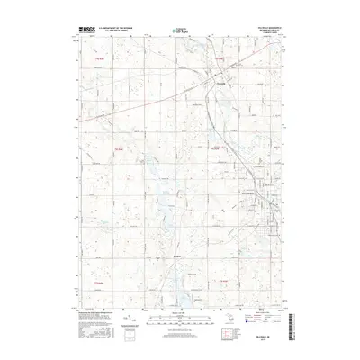
2017 Map of Hillsdale
USGS Topo · Published 2017About this map
Hillsdale and Jonesville anchor this southern Michigan landscape, connected by a network of historical transit corridors and waterways. The Saint Joseph River winds through the region, feeding into Mill Pond at Jonesville, while the N Country National Scenic Trail traverses the glacial terrain between the primary settlements. This area is defined by its numerous water bodies, including the central cluster of N Sand Lake, Middle Sand Lake, and S Sand Lake. To the south, the small community of Bankers sits near the shores of Bankers Lake. For genealogists, the map preserves the locations of several burial grounds, such as Oak Grove Cem and Saint Anthony Cem in Hillsdale, and Sunset View Cem north of Jonesville, providing a clear record of the local cemetery landscape.
Find a feature on this map
132 named features on this map. Tap any name to fly to it.
Don’t see what you’re looking for? This feature index may not catch every label — zoom into the map to look around manually.
Map Details
Editions of this 2017 Hillsdale Map
This is the sole edition of this map. No revisions or reprints were ever made.
Other maps of this area

1948 · Spring Arbor
USGS Topo · 1:62,500

1948 · Homer
USGS Topo · 1:62,500

1949 · Homer
USGS Topo · 1:62,500

1949 · Spring Arbor
USGS Topo · 1:62,500

1953 · Fort Wayne
USGS Topo · 1:250,000

1956 · Fort Wayne
USGS Topo · 1:250,000

1958 · Grand Rapids
USGS Topo · 1:250,000

1959 · Hillsdale
USGS Topo · 1:24,000

1959 · Reading
USGS Topo · 1:24,000

1959 · North Adams
USGS Topo · 1:24,000