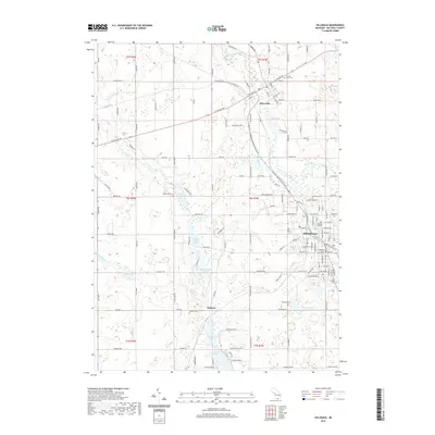
2019 Map of Hillsdale
USGS Topo · Published 2019About this map
Hillsdale serves as the focal point of this 2019 survey, showcasing its established institutional and civic core. The presence of Hillsdale College and the Hillsdale County Courthouse marks the town as a significant regional center of education and local government. The landscape is defined by a glacial chain of water bodies, including North Sand Lake, Middle Sand Lake, and South Sand Lake, which dominate the central corridor north of Bankers. These lakes, along with Bullhead Lake and Lake Wilson, illustrate the complex drainage patterns of the upper Saint Joseph River watershed.
Find a feature on this map
137 named features on this map. Tap any name to fly to it.
Don’t see what you’re looking for? This feature index may not catch every label — zoom into the map to look around manually.
Map Details
Editions of this 2019 Hillsdale Map
This is the sole edition of this map. No revisions or reprints were ever made.
Other maps of this area

1948 · Spring Arbor
USGS Topo · 1:62,500

1948 · Homer
USGS Topo · 1:62,500

1949 · Homer
USGS Topo · 1:62,500

1949 · Spring Arbor
USGS Topo · 1:62,500

1953 · Fort Wayne
USGS Topo · 1:250,000

1956 · Fort Wayne
USGS Topo · 1:250,000

1958 · Grand Rapids
USGS Topo · 1:250,000

1959 · Hillsdale
USGS Topo · 1:24,000

1959 · Reading
USGS Topo · 1:24,000

1959 · North Adams
USGS Topo · 1:24,000