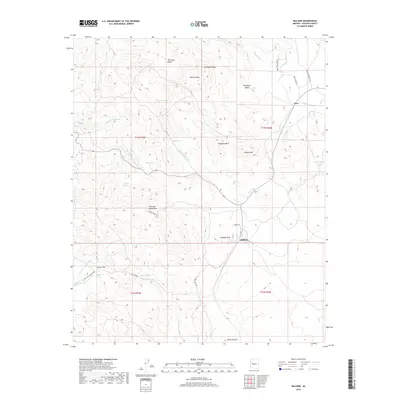
2018 Map of Hillside
USGS Topo · Published 2018About this map
Hillside sits at the base of Hillside Peak within a landscape defined by dramatic elevation changes and sparse high-desert settlements. This 2018 survey highlights the complex drainage systems of the region, where Quail Spring Wash and Ally Wash cut through the terrain toward the south. The northeast corner is marked by the small settlement of Yava near Kirkland Cr, while the western portion of the map is dominated by the rugged McCloud Mountains. Local infrastructure is anchored by established ranching and access routes such as Weeks Ranch Rd and Mule Shoe Ranch Rd. From the height of Bismark Mtn down to the S Fork Santa Maria River, the map provides a clear record of the area's natural landmarks, including Wild Hog Basin and numerous isolated water sources like Laurel Spring and Lawler Spring.
Find a feature on this map
42 named features on this map. Tap any name to fly to it.
Don’t see what you’re looking for? This feature index may not catch every label — zoom into the map to look around manually.
Map Details
Editions of this 2018 Hillside Map
This is the sole edition of this map. No revisions or reprints were ever made.
Other maps of this area

1887 · Prescott
USGS Topo · 1:250,000

1892 · Prescott
USGS Topo · 1:250,000

1903 · Congress
USGS Topo · 1:125,000

1904 · Congress
USGS Topo · 1:125,000

1923 · Signal
USGS Topo · 1:250,000

1942 · Signal
USGS Topo · 1:250,000

1945 · Bagdad
USGS Topo · 1:62,500

1947 · Sheridan Mountain
USGS Topo · 1:62,500

1948 · Sheridan Mountain
USGS Topo · 1:63,360

1948 · Bagdad
USGS Topo · 1:62,500