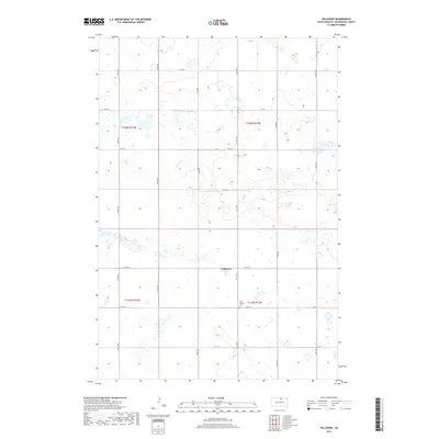
2017 Map of Hillsview
USGS Topo · Published 2017About this map
Hillsview sits at the intersection of a grid-dominated prairie landscape in McPherson County, defined by its agricultural section lines and an extensive network of ephemeral wetlands. This 2017 survey shows the sparse but resilient settlement pattern of the region, where gravel roads like 331st Ave and Co Hwy 12 connect isolated farmsteads across the high plains. A significant local landmark for genealogy and local history is Saint Joseph Cem, located south of the main cluster of homes along 120th St. The landscape is dotted with numerous small basins and prairie potholes, reflecting the characteristic glacial topography of the Dakotas and its impact on local land use and transportation routes.
Find a feature on this map
19 named features on this map. Tap any name to fly to it.
Don’t see what you’re looking for? This feature index may not catch every label — zoom into the map to look around manually.
Map Details
Editions of this 2017 Hillsview Map
This is the sole edition of this map. No revisions or reprints were ever made.
Other maps of this area

1954 · Aberdeen
USGS Topo · 1:250,000

1956 · Aberdeen
USGS Topo · 1:250,000

1978 · Hillsview SE
USGS Topo · 1:24,000

1978 · Hosmer NW
USGS Topo · 1:24,000

1978 · Bowdle-Hosmer Lake
USGS Topo · 1:24,000

1978 · Eureka West
USGS Topo · 1:24,000

1978 · Feinstein Lake
USGS Topo · 1:24,000

1978 · Eureka East
USGS Topo · 1:24,000

1978 · Hosmer
USGS Topo · 1:24,000

1978 · Schumacher Lake SW
USGS Topo · 1:24,000