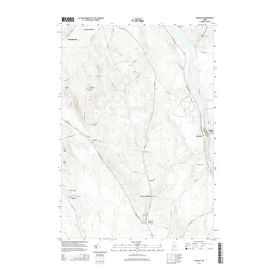
2014 Map of Hinckley
USGS Topo · Published 2014About this map
The Kennebec River carves a deep valley along the eastern boundary of this landscape, separating Somerset Co from Kennebec Co. Along this waterway, the settlement of Hinckley and the historic Pishon Ferry site anchor the river-bound infrastructure. The terrain to the west is defined by a series of prominent ridges and peaks, including Little Bear Mtn, Bear Mtn, and Bigelow Hill, which influence the winding drainage patterns of Martin Stream and Craigin Brook.
Find a feature on this map
63 named features on this map. Tap any name to fly to it.
Don’t see what you’re looking for? This feature index may not catch every label — zoom into the map to look around manually.
Map Details
Editions of this 2014 Hinckley Map
This is the sole edition of this map. No revisions or reprints were ever made.
Other maps of this area

1892 · Waterville
USGS Topo · 1:62,500

1894 · Norridgewock
USGS Topo · 1:62,500

1898 · Norridgewock
USGS Topo · 1:62,500

1904 · Anson
USGS Topo · 1:62,500

1913 · Skowhegan
USGS Topo · 1:62,500

1943 · Norridgewock
USGS Topo · 1:62,500

1943 · Waterville
USGS Topo · 1:62,500

1948 · Bangor
USGS Topo · 1:250,000

1955 · Anson
USGS Topo · 1:62,500

1955 · Skowhegan
USGS Topo · 1:62,500