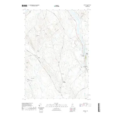
2021 Map of Hinckley
USGS Topo · Published 2021About this map
The Kennebec River corridor defines the eastern edge of this landscape, serving as a historic axis for commerce and education. This modern survey details the Kennebec Valley Community College Harold Alfond Campus situated near the river, south of the settlement of Hinckley. To the west, the topography rises toward Burrill Hill and Bigelow Hill, while numerous small drainages like Martin Stream and Craigin Brook wind through the interior woodlands. Smaller local centers such as Larone and North Fairfield are visible along the established road network, which includes Norridgewock Rd and Middle Rd. Family and community history is preserved in several rural burial grounds, including the Larone Cem and Covell Cem, while the northeastern corner shows the transition into the Canaan Bog.
Find a feature on this map
59 named features on this map. Tap any name to fly to it.
Don’t see what you’re looking for? This feature index may not catch every label — zoom into the map to look around manually.
Map Details
Editions of this 2021 Hinckley Map
This is the sole edition of this map. No revisions or reprints were ever made.
Other maps of this area

1892 · Waterville
USGS Topo · 1:62,500

1894 · Norridgewock
USGS Topo · 1:62,500

1898 · Norridgewock
USGS Topo · 1:62,500

1904 · Anson
USGS Topo · 1:62,500

1913 · Skowhegan
USGS Topo · 1:62,500

1943 · Norridgewock
USGS Topo · 1:62,500

1943 · Waterville
USGS Topo · 1:62,500

1948 · Bangor
USGS Topo · 1:250,000

1955 · Anson
USGS Topo · 1:62,500

1955 · Skowhegan
USGS Topo · 1:62,500