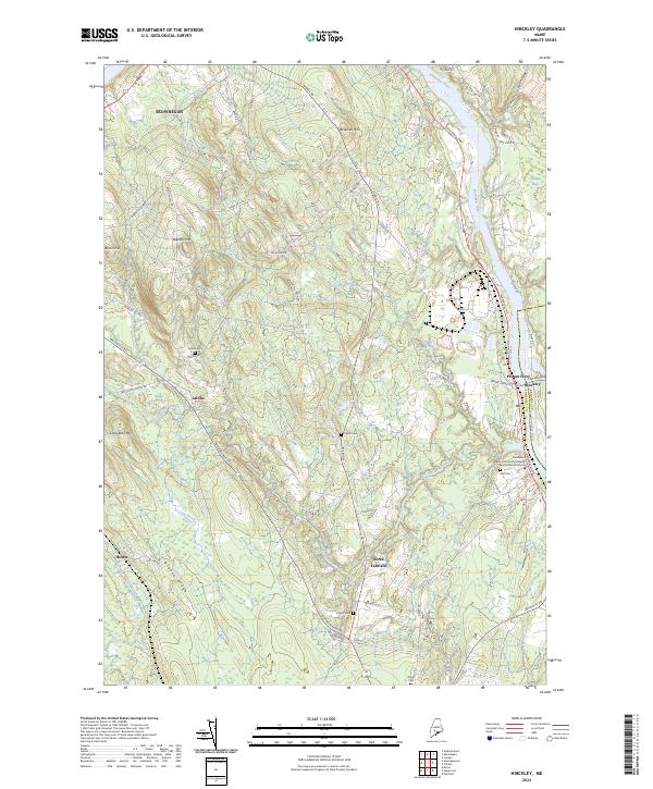
2024 Map of Hinckley
USGS Topo · Published 2024About this map
The Kennebec River corridor defines this portion of Somerset County, where the historic crossing at Pishon Ferry sits just north of Hinckley. The landscape transitions from the river valley into a series of interior ridges and hills, including Beaulieu Hill and Bigelow Hill, separated by drainages like Martin Stream and Currier Brook. Small settlements and historic centers such as Larone and North Fairfield are connected by a network of rural roads that follow the natural topography of Brooks Ridge.
Find a feature on this map
61 named features on this map. Tap any name to fly to it.
Don’t see what you’re looking for? This feature index may not catch every label — zoom into the map to look around manually.
Map Details
Editions of this 2024 Hinckley Map
This is the sole edition of this map. No revisions or reprints were ever made.
Other maps of this area

1892 · Waterville
USGS Topo · 1:62,500

1894 · Norridgewock
USGS Topo · 1:62,500

1898 · Norridgewock
USGS Topo · 1:62,500

1904 · Anson
USGS Topo · 1:62,500

1913 · Skowhegan
USGS Topo · 1:62,500

1943 · Norridgewock
USGS Topo · 1:62,500

1943 · Waterville
USGS Topo · 1:62,500

1948 · Bangor
USGS Topo · 1:250,000

1955 · Anson
USGS Topo · 1:62,500

1955 · Skowhegan
USGS Topo · 1:62,500