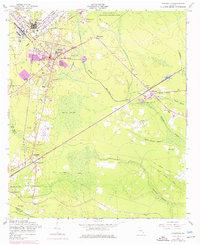
2024 Map of Hinesville
USGS Topo · Published 2024About this map
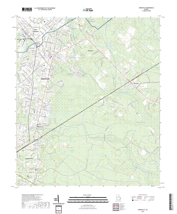
The Liberty County seat of Hinesville and the sprawling military installation of Fort Stewart anchor this contemporary geography of coastal Georgia. The landscape is defined by its low-lying hydrology, where extensive wetland systems like Bull Town Swamp and Goshen Swamp dictate the pattern of human development. A dense network of roads, including Bultman Ave and General Stewart Way, connects the modern urban core with long-established communities like Flemington and Walthourville.
Find a feature on this map
206 named features on this map. Tap any name to fly to it.
Don’t see what you’re looking for? This feature index may not catch every label — zoom into the map to look around manually.
Map Details
Editions of this 2024 Hinesville Map
This is the sole edition of this map. No revisions or reprints were ever made.
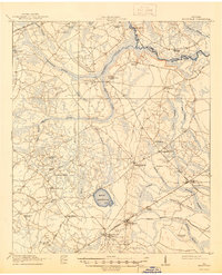
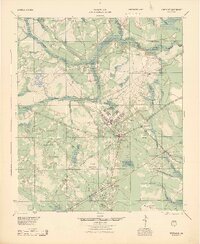
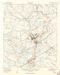
Historical Maps of McIntosh Through Time
5 maps found