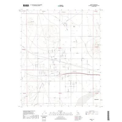
2018 Map of Hinkley
USGS Topo · Published 2018About this map
Hinkley sits at the heart of this high-desert landscape, where a grid of residential and agricultural roads such as Santa Fe Ave and Alcudia Rd meet the open expanse of the Mojave Desert. The terrain is defined by isolated peaks including Lynx Cat Mtn, Mt General, and Iron Mtn, which rise sharply from the basin floor. To the north, Hinkley Valley and Water Valley transition into more remote reaches marked by landforms like Red Hill. The southern edge of the map is dominated by the dry bed of the Mojave River, passing just north of the expanding outskirts of Barstow. This 2018 survey captures the intersection of desert infrastructure and the natural topography of the San Bernardino County interior, illustrating how modern transport corridors like Hinkley Rd navigate the gaps between these prominent mountain features.
Find a feature on this map
84 named features on this map. Tap any name to fly to it.
Don’t see what you’re looking for? This feature index may not catch every label — zoom into the map to look around manually.
Map Details
Editions of this 2018 Hinkley Map
This is the sole edition of this map. No revisions or reprints were ever made.
Other maps of this area

1915 · Searles Lake
USGS Topo · 1:250,000

1932 · Barstow
USGS Topo · 1:125,000

1934 · Barstow
USGS Topo · 1:125,000

1947 · Trona
USGS Topo · 1:250,000

1948 · Trona
USGS Topo · 1:250,000

1953 · San Bernardino
USGS Topo · 1:250,000

1953 · Trona
USGS Topo · 1:250,000

1955 · Opal Mountain
USGS Topo · 1:62,500

1956 · San Bernardino
USGS Topo · 1:250,000

1956 · Fremont Peak
USGS Topo · 1:62,500