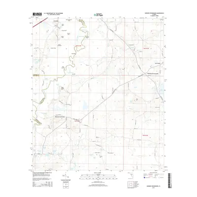
2015 Map of Hinsons Crossroads
USGS Topo · Published 2015About this map
Westville sits at the northern edge of this Panhandle landscape, where the Choctawhatchee River winds through a complex system of bypasses and backwaters like Sawed Slough and the Old River. This environment is defined by its transition from the river bottomlands to the higher ground of Steep Hollow Hill and Big Hill. The map reveals a rural network of small settlements and named clearings, such as Hinsons Crossroads and Whitehead Crossroads, connected by long-established routes like Douglas Ferry Rd. Numerous small water bodies including Leavins Lake, Fortune Lake, and Pate Lake dot the terrain, alongside family-named landmarks like Cooey Field and Thomas Field. Genealogists will find the Clarkston Cem located near the southern border, south of Wickers Pond.
Find a feature on this map
105 named features on this map. Tap any name to fly to it.
Don’t see what you’re looking for? This feature index may not catch every label — zoom into the map to look around manually.
Map Details
Editions of this 2015 Hinsons Crossroads Map
This is the sole edition of this map. No revisions or reprints were ever made.
Other maps of this area

1948 · Ponce De Leon
USGS Topo · 1:24,000

1949 · Millers Ferry
USGS Topo · 1:24,000

1949 · Redbay
USGS Topo · 1:24,000

1949 · Hinsons Cross Roads
USGS Topo · 1:24,000

1949 · Caryville
USGS Topo · 1:24,000

1950 · Prosperity
USGS Topo · 1:24,000

1950 · Millers Ferry
USGS Topo · 1:24,000

1950 · Ponce De Leon
USGS Topo · 1:24,000

1950 · Hinsons Cross Roads
USGS Topo · 1:24,000

1950 · Redbay
USGS Topo · 1:24,000