Loading...
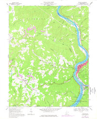
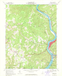
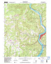
Loading map...1968 Map of Hinton
USGS Topo · Published 1977About this map
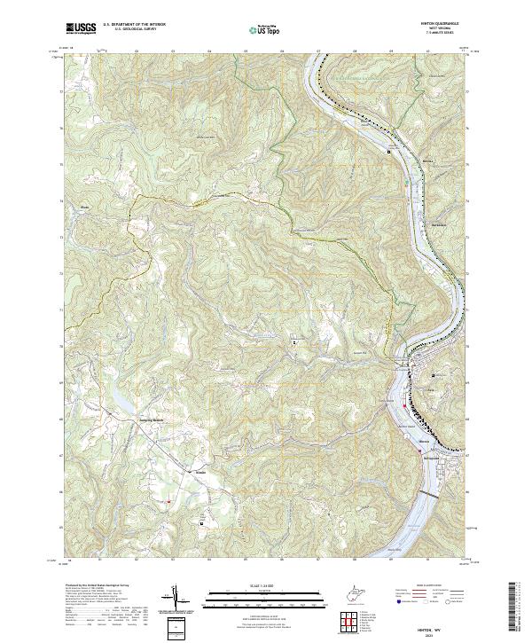
The confluence of the New River and Greenbrier River defines the landscape of the Hinton area, a region where river-cut valleys meet the high elevations of Chestnut Mtn and Richmond Mountain. At the heart of the map, the city of Hinton and its adjacent communities of Avis and Bellepoint sit near the massive Bluestone Dam, which regulates the flow into Bluestone Lake. This survey illustrates a mid-century period of heavy coal extraction, visible through numerous Strip Mines and quarries dotting the ridges above Jumping Branch.
Find a feature on this map
63 named features on this map. Tap any name to fly to it.
Don’t see what you’re looking for? This feature index may not catch every label — zoom into the map to look around manually.
Map Details
Date Portrayed1968
Date Published1977
PublisherU.S. Geological Survey
Map TypeTopographic
Scale1:24,000
Physical Dimensions22 x 26.9 inches
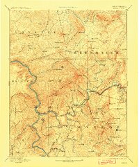
Editions of this 1968 Hinton Map
2 editions found
Historical Maps of Hinton Through Time
5 maps found

Featured Locations
Source Details
SourceU.S. Geological Survey
CopyrightPublic Domain