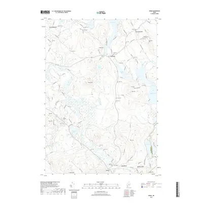
2018 Map of Hiram
USGS Topo · Published 2018About this map
Dyer's Landing and the winding Saco River define this corner of the Maine landscape where water systems and small rural settlements converge. The area around Denmark and Hiram is marked by a dense network of family and community burial grounds, such as Harriden Cem and Merrifield Cem, which provide significant data points for genealogists researching the Oxford and Cumberland county border. The terrain is characterized by prominent elevations like Allen Mtn and the Boston Hills, interspersed with numerous bodies of water including Pequawket Pond and Granger Pond. Modern infrastructure follows the path of older routes like Sebago Rd and Old Rte 5, connecting historic locations such as Rankins Mill to the broader region. This 2018 survey provides a contemporary perspective on the enduring land patterns of the Saco and Tenmile River valleys.
Find a feature on this map
116 named features on this map. Tap any name to fly to it.
Don’t see what you’re looking for? This feature index may not catch every label — zoom into the map to look around manually.
Map Details
Editions of this 2018 Hiram Map
This is the sole edition of this map. No revisions or reprints were ever made.
Other maps of this area

1896 · Norway
USGS Topo · 1:62,500

1896 · Sebago
USGS Topo · 1:62,500

1909 · Fryeburg
USGS Topo · 1:62,500

1910 · Kezar Falls
USGS Topo · 1:48,000

1911 · Fryeburg
USGS Topo · 1:62,500

1911 · Kezar Falls
USGS Topo · 1:62,500

1941 · Fryeburg
USGS Topo · 1:62,500

1942 · Sebago Lake
USGS Topo · 1:62,500

1943 · Sebago Lake
USGS Topo · 1:62,500

1946 · Norway
USGS Topo · 1:62,500