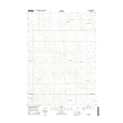
2015 Map of Hisle NW
USGS Topo · Published 2015About this map
Potato Cr winds through the northern Great Plains landscape of the Pine Ridge region, carving a drainage pattern that defines the local topography. This 2015 survey highlights the transition across the Jackson and Bennett County line, a boundary that segments large-scale ranching and agricultural tracts. The terrain is punctuated by significant landmarks like Snake Butte, which rises above the surrounding plains. The transportation network is sparse, consisting primarily of section-line routes such as May Rd and Allen Rd, alongside the descriptively named Snake Butte Rd. These roads provide the primary access to remote homesteads and grazing lands in an area where Turtle Cr and other small waterways are the only breaks in the high-country profile. The map reflects a modern era of land management, detailing township and range lines across several districts including t40n r39w.
Find a feature on this map
15 named features on this map. Tap any name to fly to it.
Don’t see what you’re looking for? This feature index may not catch every label — zoom into the map to look around manually.
Map Details
Editions of this 2015 Hisle NW Map
This is the sole edition of this map. No revisions or reprints were ever made.
Other maps of this area

1950 · Interior SE
USGS Topo · 1:24,000

1950 · Potato Creek
USGS Topo · 1:24,000

1952 · Conata SE
USGS Topo · 1:24,000

1955 · Hot Springs
USGS Topo · 1:250,000

1955 · Martin
USGS Topo · 1:250,000

1958 · Martin
USGS Topo · 1:250,000

1980 · Kadoka
USGS Topo · 1:100,000

1981 · Wall
USGS Topo · 1:100,000

1981 · Yellow Bear Camp
USGS Topo · 1:25,000

1981 · Allen
USGS Topo · 1:25,000