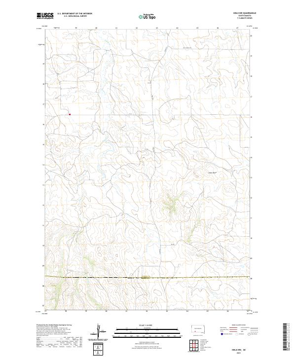
2021 Map of Hisle NW
USGS Topo · Published 2021About this map
Potato Cr winds through this expanse of the northern Great Plains, cutting a path through the drainages of Jackson and Bennett counties. The landscape is defined by its subtle topographic shifts and the prominent rise of Snake Butte, which serves as a significant landmark in an area largely characterized by open range and section-line roads. This survey reflects the enduring rural character of the region, where the historical road network includes routes like Old School Rd and Allen Rd, indicating the locations of past community hubs and early infrastructure. The map documents the precise intersection of the Jackson Co Bennett Co line, providing a clear view of the administrative and geophysical layout of this section of South Dakota at the start of the 2020s.
Find a feature on this map
16 named features on this map. Tap any name to fly to it.
Don’t see what you’re looking for? This feature index may not catch every label — zoom into the map to look around manually.
Map Details
Editions of this 2021 Hisle NW Map
This is the sole edition of this map. No revisions or reprints were ever made.
Other maps of this area

1950 · Interior SE
USGS Topo · 1:24,000

1950 · Potato Creek
USGS Topo · 1:24,000

1952 · Conata SE
USGS Topo · 1:24,000

1955 · Hot Springs
USGS Topo · 1:250,000

1955 · Martin
USGS Topo · 1:250,000

1958 · Martin
USGS Topo · 1:250,000

1980 · Kadoka
USGS Topo · 1:100,000

1981 · Wall
USGS Topo · 1:100,000

1981 · Yellow Bear Camp
USGS Topo · 1:25,000

1981 · Allen
USGS Topo · 1:25,000