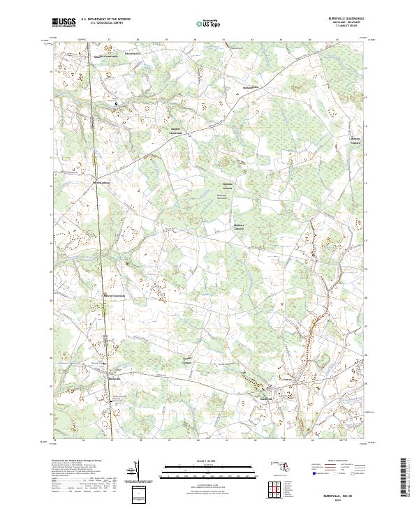
2023 Map of Hobbs
USGS Topo · Published 2023About this map
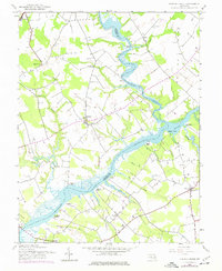
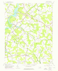
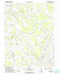
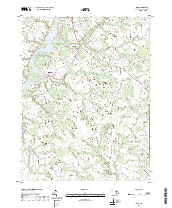
The Choptank River winds through the heart of Caroline County, anchoring a landscape where small hamlets like Williston and Bureau are connected by a network of rural routes and creek crossings. This terrain is characterized by its numerous drainage systems, including Herring Run, Mill Creek, and Fowling Creek, which feed into the larger river valley. Local history is deeply etched into the land through a series of significant burial grounds, such as Todds Chapel Cem and Saint Paul Cem, often found at critical road junctions near long-established settlements like Andersontown and American Corner. Toward the southern boundary, Smithville Community Lake and Slater Field indicate the ongoing community and agricultural use of the land. The geography illustrates a classic Eastern Shore pattern, where residential pockets like Denton and Hobbs are interspersed with low-lying terrain features like Opossum Hill and the river-adjacent Tuckahoe Neck.
Find a feature on this map
115 named features on this map. Tap any name to fly to it.
Don’t see what you’re looking for? This feature index may not catch every label — zoom into the map to look around manually.
Map Details
Editions of this 2023 Hobbs Map
This is the sole edition of this map. No revisions or reprints were ever made.
Historical Maps of Agner Through Time
7 maps found