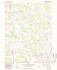
1955 Map of Burrsville
USGS Topo · Published 1983About this map
The borderlands of Maryland and Delaware are defined by a network of agricultural crossroads and slow-moving waterways in this mid-century topographic survey. Centered on Burrsville, the landscape is divided between the sprawling drainage of Marshyhope Creek and its many tributaries, including Black Swamp Creek and Garey Mill Pond. The terrain is characterized by a series of family-named intersections such as McKnatt Corners, Hopkins Corners, and Melvin Crossroads, which served as the social hubs for the surrounding farmsteads.
Find a feature on this map
52 named features on this map. Tap any name to fly to it.
Don’t see what you’re looking for? This feature index may not catch every label — zoom into the map to look around manually.
Map Details
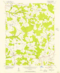
Editions of this 1955 Burrsville Map
2 editions found
Other maps of this area

1899 · Dover
USGS Topo · 1:125,000

1905 · Denton
USGS Topo · 1:62,500

1905 · Barclay
USGS Topo · 1:62,500

1906 · Dover
USGS Topo · 1:125,000

1918 · Harrington
USGS Topo · 1:62,500

1920 · Dover
USGS Topo · 1:125,000

1926 · Wyoming
USGS Topo · 1:48,000

1930 · Wyoming
USGS Topo · 1:62,500

1931 · Wyoming
USGS Topo · 1:62,500

1944 · Denton
USGS Topo · 1:31,680