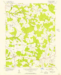
1955 Map of Burrsville
USGS Topo · Published 1956About this map
The Maryland Delaware state line bisects this 1950s landscape, where rural communities are defined by a network of crossroads and small parish churches. In District No 6 and District No 9, the settlement pattern is markedly agrarian, with clusters of family-named landmarks like McKnatt Corners, Hopkins Corners, and Anthonys Corners serving as local hubs. The drainage system, characterized by numerous prongs and branches such as Marshyhope Creek and Sangston Prong, dictates the placement of early infrastructure like the Gut Bridge and Garey Mill Pond. Small country sanctuaries, including Manship Ch, Cedar Grove Ch, and Whites Ch, stand as quiet sentinels of mid-century social life across the Kent and Caroline county borderlands.
Find a feature on this map
51 named features on this map. Tap any name to fly to it.
Don’t see what you’re looking for? This feature index may not catch every label — zoom into the map to look around manually.
Map Details
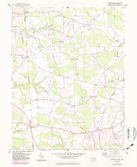
Editions of this 1955 Burrsville Map
2 editions found
Other maps of this area

1899 · Dover
USGS Topo · 1:125,000

1905 · Denton
USGS Topo · 1:62,500

1905 · Barclay
USGS Topo · 1:62,500

1906 · Dover
USGS Topo · 1:125,000

1918 · Harrington
USGS Topo · 1:62,500

1920 · Dover
USGS Topo · 1:125,000

1926 · Wyoming
USGS Topo · 1:48,000

1930 · Wyoming
USGS Topo · 1:62,500

1931 · Wyoming
USGS Topo · 1:62,500

1944 · Denton
USGS Topo · 1:31,680