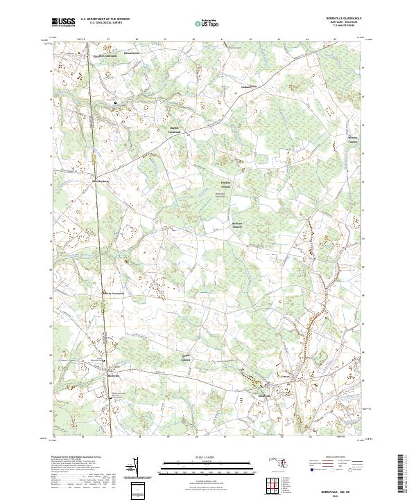
2023 Map of Burrsville
USGS Topo · Published 2023About this map
Agricultural crossroads and family-named junctions define this section of the Delmarva Peninsula along the boundary of Maryland and Delaware. The map centers on the border between Caroline Co and Kent Co, where small settlements like Burrsville and Whiteleysburg anchor a landscape patterned by ancient drainage networks. Waterways such as Marshyhope Creek and the Burrsville Branch wind through low-lying terrain, flanked by numerous prongs and ditches that reflect centuries of local land management.
Find a feature on this map
106 named features on this map. Tap any name to fly to it.
Don’t see what you’re looking for? This feature index may not catch every label — zoom into the map to look around manually.
Map Details
Editions of this 2023 Burrsville Map
This is the sole edition of this map. No revisions or reprints were ever made.
Other maps of this area

1899 · Dover
USGS Topo · 1:125,000

1905 · Denton
USGS Topo · 1:62,500

1905 · Barclay
USGS Topo · 1:62,500

1906 · Dover
USGS Topo · 1:125,000

1918 · Harrington
USGS Topo · 1:62,500

1920 · Dover
USGS Topo · 1:125,000

1926 · Wyoming
USGS Topo · 1:48,000

1930 · Wyoming
USGS Topo · 1:62,500

1931 · Wyoming
USGS Topo · 1:62,500

1944 · Denton
USGS Topo · 1:31,680