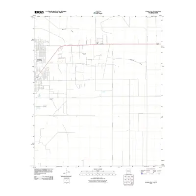
2010 Map of Hobbs East
USGS Topo · Published 2010About this map
East Hobbs Oil Field dominates the central landscape of this 2010 survey, reflecting the deep-rooted energy economy of the Permian Basin on the edge of Hobbs. The map illustrates the town’s eastern expansion into the desert, where a rigid grid of roads like E Standolind Rd and N Shannon Rd meet the open scrubland and the natural path of Seminole Draw.
Find a feature on this map
27 named features on this map. Tap any name to fly to it.
Don’t see what you’re looking for? This feature index may not catch every label — zoom into the map to look around manually.
Map Details
Editions of this 2010 Hobbs East Map
This is the sole edition of this map. No revisions or reprints were ever made.
Other maps of this area

1954 · Hobbs
USGS Topo · 1:250,000

1958 · Hobbs
USGS Topo · 1:250,000

1969 · Humble City
USGS Topo · 1:24,000

1969 · Hobbs SW
USGS Topo · 1:24,000

1969 · Hobbs East
USGS Topo · 1:24,000

1969 · Hobbs SE
USGS Topo · 1:24,000

1969 · Hobbs West
USGS Topo · 1:24,000

1969 · Humble City SE
USGS Topo · 1:24,000

1970 · Humble City SE
USGS Topo · 1:24,000

1971 · Brinson Ranch
USGS Topo · 1:24,000