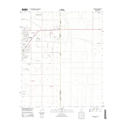
2013 Map of Hobbs East
USGS Topo · Published 2013About this map
The New Mexico-Texas state line bisects this high plains landscape, defining the eastern suburban and industrial fringe of Hobbs during the early 21st century. The map reveals a transition from the dense street grids of North Hobbs and the residential blocks along E Bender Blvd to the more sparsely settled areas of Nadine further south. The region's economic drivers are clearly visible, particularly the East Hobbs Oil Field, which marks the terrain with its characteristic access roads and petroleum infrastructure. Natural drainage patterns are represented by the wide, shallow paths of Seminole Draw and Johnson Draw, which cut across the otherwise level topography of the Llano Estacado. Local history is anchored by the presence of Prairie Haven Cem and Everglades Cem, serving as important landmarks for genealogical research and community heritage.
Find a feature on this map
44 named features on this map. Tap any name to fly to it.
Don’t see what you’re looking for? This feature index may not catch every label — zoom into the map to look around manually.
Map Details
Editions of this 2013 Hobbs East Map
This is the sole edition of this map. No revisions or reprints were ever made.
Other maps of this area

1954 · Hobbs
USGS Topo · 1:250,000

1958 · Hobbs
USGS Topo · 1:250,000

1969 · Humble City
USGS Topo · 1:24,000

1969 · Hobbs SW
USGS Topo · 1:24,000

1969 · Hobbs East
USGS Topo · 1:24,000

1969 · Hobbs SE
USGS Topo · 1:24,000

1969 · Hobbs West
USGS Topo · 1:24,000

1969 · Humble City SE
USGS Topo · 1:24,000

1970 · Humble City SE
USGS Topo · 1:24,000

1971 · Brinson Ranch
USGS Topo · 1:24,000