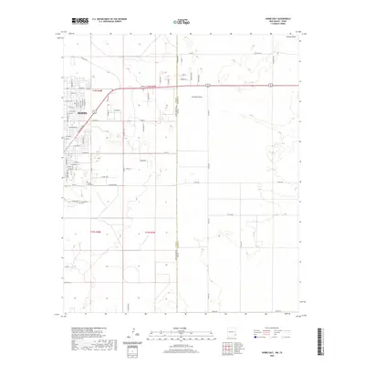
2020 Map of Hobbs East
USGS Topo · Published 2020About this map
Hobbs serves as the primary urban center in this West Texas and New Mexico borderlands survey, where the grid of city streets meets the arid expanses of the Permian Basin. The map details the eastern expansion of the city, showing a dense network of residential and industrial thoroughfares including E Navajo Dr and E Stanolind Rd. The landscape is defined by its transition from the built environment to the open high plains, marked by ephemeral watercourses like Seminole Draw and Johnson Draw. For family historians, the inclusion of Prairie Haven Cem and Everglades Cem provides precise locations for local heritage sites. The interstate boundary between New Mexico and Texas cuts vertically through the center of the sheet, illustrating how political lines bisect this shared geographic region.
Find a feature on this map
63 named features on this map. Tap any name to fly to it.
Don’t see what you’re looking for? This feature index may not catch every label — zoom into the map to look around manually.
Map Details
Editions of this 2020 Hobbs East Map
This is the sole edition of this map. No revisions or reprints were ever made.
Other maps of this area

1954 · Hobbs
USGS Topo · 1:250,000

1958 · Hobbs
USGS Topo · 1:250,000

1969 · Humble City
USGS Topo · 1:24,000

1969 · Hobbs SW
USGS Topo · 1:24,000

1969 · Hobbs East
USGS Topo · 1:24,000

1969 · Hobbs SE
USGS Topo · 1:24,000

1969 · Hobbs West
USGS Topo · 1:24,000

1969 · Humble City SE
USGS Topo · 1:24,000

1970 · Humble City SE
USGS Topo · 1:24,000

1971 · Brinson Ranch
USGS Topo · 1:24,000