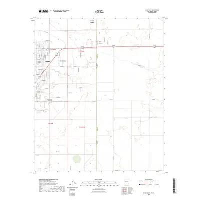
2023 Map of Hobbs East
USGS Topo · Published 2023About this map
Hobbs and the community of Nadine sit at the western edge of this High Plains landscape, where the urban street grid meets the open reaches of the Llano Estacado. The map documents the eastern expansion of the city along routes like E Marland St and E Sanger St, showing the transition from residential developments to industrial and agricultural land. Significant local history sites are clustered near the city limits, including Everglades Cem and Prairie Haven Memorial Park, which serve as vital points of interest for genealogical research in Lea County. Further east, the terrain is defined by the ephemeral Seminole Draw and a network of section-line roads, such as Co Rd 63 and Nadine Rd, that cross the state boundary where New Mexico meets Texas.
Find a feature on this map
43 named features on this map. Tap any name to fly to it.
Don’t see what you’re looking for? This feature index may not catch every label — zoom into the map to look around manually.
Map Details
Editions of this 2023 Hobbs East Map
This is the sole edition of this map. No revisions or reprints were ever made.
Other maps of this area

1954 · Hobbs
USGS Topo · 1:250,000

1958 · Hobbs
USGS Topo · 1:250,000

1969 · Humble City
USGS Topo · 1:24,000

1969 · Hobbs SW
USGS Topo · 1:24,000

1969 · Hobbs East
USGS Topo · 1:24,000

1969 · Hobbs SE
USGS Topo · 1:24,000

1969 · Hobbs West
USGS Topo · 1:24,000

1969 · Humble City SE
USGS Topo · 1:24,000

1970 · Humble City SE
USGS Topo · 1:24,000

1971 · Brinson Ranch
USGS Topo · 1:24,000