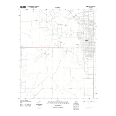
2010 Map of Hobbs West
USGS Topo · Published 2010About this map
Hobbs serves as the focal point of this Lea County landscape during the first decade of the 21st century, revealing an urban center heavily influenced by the regional energy economy. The extensive Hobbs Oil Field and industrial sites like the Airport Pit and Lea County Pit speak to the area's resource-driven development. To the south, the smaller community of Nadine sits at the junction of several regional routes, including the Monument Hwy. Within the city limits, civic and community life is anchored by the Hobbs Post Office and local landmarks such as Memorial Park Cemetery and Memdry Gardens. The presence of the Hobbs Airport and the W Hobbs South Byp illustrates the modern transportation infrastructure required to support this desert city's growth and its connection to the surrounding high plains.
Find a feature on this map
43 named features on this map. Tap any name to fly to it.
Don’t see what you’re looking for? This feature index may not catch every label — zoom into the map to look around manually.
Map Details
Editions of this 2010 Hobbs West Map
This is the sole edition of this map. No revisions or reprints were ever made.
Other maps of this area

1954 · Hobbs
USGS Topo · 1:250,000

1958 · Hobbs
USGS Topo · 1:250,000

1962 · Lovington
USGS Topo · 1:62,500

1963 · Monument
USGS Topo · 1:62,500

1969 · Humble City
USGS Topo · 1:24,000

1969 · Hobbs SW
USGS Topo · 1:24,000

1969 · Hobbs East
USGS Topo · 1:24,000

1969 · Hobbs SE
USGS Topo · 1:24,000

1969 · Hobbs West
USGS Topo · 1:24,000

1969 · Humble City SE
USGS Topo · 1:24,000