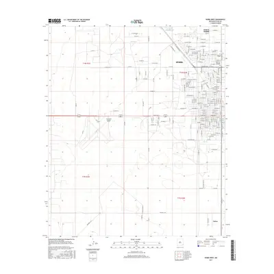
2017 Map of Hobbs West
USGS Topo · Published 2017About this map
Hobbs and its northern outskirts are the primary focus of this late-2010s survey, illustrating the organized grid of the city as it extends toward North Hobbs. The landscape is a transition from dense residential blocks to industrial and transportation infrastructure, notably the Lea County Regional Airport situated to the west of the main city center. For genealogists and local historians, the inclusion of Boone Cem - Memorial Park Cem and Memorial Garden provides precise locations for family research within the municipal boundaries.
Find a feature on this map
159 named features on this map. Tap any name to fly to it.
Don’t see what you’re looking for? This feature index may not catch every label — zoom into the map to look around manually.
Map Details
Editions of this 2017 Hobbs West Map
This is the sole edition of this map. No revisions or reprints were ever made.
Other maps of this area

1954 · Hobbs
USGS Topo · 1:250,000

1958 · Hobbs
USGS Topo · 1:250,000

1962 · Lovington
USGS Topo · 1:62,500

1963 · Monument
USGS Topo · 1:62,500

1969 · Humble City
USGS Topo · 1:24,000

1969 · Hobbs SW
USGS Topo · 1:24,000

1969 · Hobbs East
USGS Topo · 1:24,000

1969 · Hobbs SE
USGS Topo · 1:24,000

1969 · Hobbs West
USGS Topo · 1:24,000

1969 · Humble City SE
USGS Topo · 1:24,000