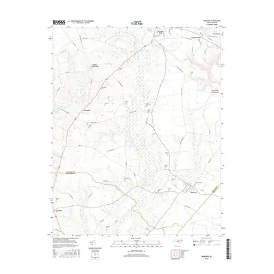
2016 Map of Hobgood
USGS Topo · Published 2016About this map
Scotland Neck serves as the northern anchor for this Halifax County landscape, where the agricultural traditions of eastern North Carolina remain etched into the road and drainage networks. The terrain is defined by low-lying wetlands such as Marsh Swamp and the headwaters of Conoho Creek, which dictate the placement of small rural settlements like Roseneath and Mullins Crossroads. This survey reveals a high density of family burial grounds, providing a significant resource for genealogists tracing names such as Cobb, Whitehead, Mizell, and Hardy.
Find a feature on this map
71 named features on this map. Tap any name to fly to it.
Don’t see what you’re looking for? This feature index may not catch every label — zoom into the map to look around manually.
Map Details
Editions of this 2016 Hobgood Map
This is the sole edition of this map. No revisions or reprints were ever made.
Other maps of this area

1901 · Parmele
USGS Topo · 1:62,500

1902 · Parmele
USGS Topo · 1:62,500

1902 · Tarboro
USGS Topo · 1:62,500

1903 · Tarboro
USGS Topo · 1:62,500

1953 · Norfolk
USGS Topo · 1:250,000

1953 · Rocky Mount
USGS Topo · 1:250,000

1954 · Rocky Mount
USGS Topo · 1:250,000

1960 · Dawson Crossroads
USGS Topo · 1:24,000

1960 · Draughn
USGS Topo · 1:24,000

1962 · Palmyra
USGS Topo · 1:24,000