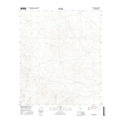
2016 Map of Hobo Tank
USGS Topo · Published 2016About this map
Hobo Tank and numerous other water catchment features define this arid stretch of Hudspeth County, illustrating the vital infrastructure required for ranching in the Trans-Pecos region. The landscape is marked by a complex network of named tanks, such as Butterfield Tank and Ninemile Tank, which suggest historical cattle drive routes or early 20th-century range management. The naming conventions, ranging from the utilitarian Ties Tank to the more personal Salvador Tank and Fernando Tank, reflect the human imprint on a desert environment. Topographical features like Big Canyon Tank and Little Canyon Tank show how natural drainage was harnessed to sustain livestock, while W Lost Valley Tank points to the geographic isolation of these remote water sources.
Find a feature on this map
26 named features on this map. Tap any name to fly to it.
Don’t see what you’re looking for? This feature index may not catch every label — zoom into the map to look around manually.
Map Details
Editions of this 2016 Hobo Tank Map
This is the sole edition of this map. No revisions or reprints were ever made.
Other maps of this area

1903 · Cerro Alto
USGS Topo · 1:125,000

1940 · Bassett Lake
USGS Topo · 1:62,500

1941 · Heuco Mountains
USGS Topo · 1:62,500

1943 · San Antonio Mtn
USGS Topo · 1:62,500

1943 · Heuco Mountains
USGS Topo · 1:62,500

1943 · Bassett Lake
USGS Topo · 1:62,500

1954 · Carlsbad
USGS Topo · 1:250,000

1954 · Van Horn
USGS Topo · 1:250,000

1958 · Van Horn
USGS Topo · 1:250,000

1958 · Carlsbad
USGS Topo · 1:250,000