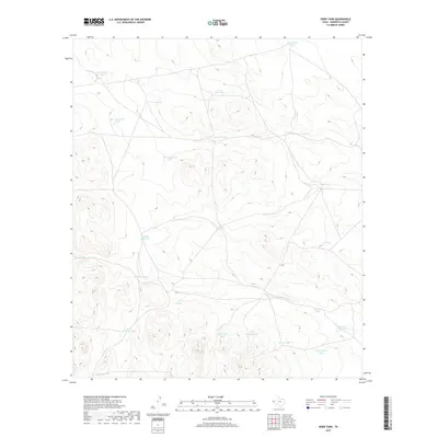
2019 Map of Hobo Tank
USGS Topo · Published 2019About this map
Hobo Tank and numerous other man-made water catchments define this arid landscape in Hudspeth County, where survival depends on the strategic placement of these features. The map illustrates a complex network of ranching infrastructure, characterized by descriptive names such as Butterfield Tank, Freak Well Tank, and Last Chance Tank. These points of interest are often organized by distance or geography, as seen with East Elevenmile Tank, Ninemile Tank, and West Ninemile Tank. The terrain is deeply incised by drainage patterns leading to Big Canyon Tank and Little Canyon Tank, reflecting the extreme importance of water management in West Texas. For researchers, these named tanks often mark the historical boundaries of large land holdings or the sites of early well-drilling efforts in an otherwise sparsely populated region.
Find a feature on this map
25 named features on this map. Tap any name to fly to it.
Don’t see what you’re looking for? This feature index may not catch every label — zoom into the map to look around manually.
Map Details
Editions of this 2019 Hobo Tank Map
This is the sole edition of this map. No revisions or reprints were ever made.
Other maps of this area

1903 · Cerro Alto
USGS Topo · 1:125,000

1940 · Bassett Lake
USGS Topo · 1:62,500

1941 · Heuco Mountains
USGS Topo · 1:62,500

1943 · San Antonio Mtn
USGS Topo · 1:62,500

1943 · Heuco Mountains
USGS Topo · 1:62,500

1943 · Bassett Lake
USGS Topo · 1:62,500

1954 · Carlsbad
USGS Topo · 1:250,000

1954 · Van Horn
USGS Topo · 1:250,000

1958 · Van Horn
USGS Topo · 1:250,000

1958 · Carlsbad
USGS Topo · 1:250,000