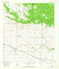
1962 Map of Hockley
USGS Topo · Published 1964About this map
The settlement of Hockley serves as a central hub in this early 1960s survey, situated along the Southern Pacific railroad line where several family-named roads like Bauer Road and Warren Road converge. The landscape north of the rail line transitions into the drainage basins of Spring Creek and Kickapoo Creek, where the terrain becomes increasingly wooded. These riparian corridors are dotted with community landmarks, including the Macedonia Ch and its accompanying Macedonia Cem, as well as the Tenn Wood Club.
Find a feature on this map
41 named features on this map. Tap any name to fly to it.
Don’t see what you’re looking for? This feature index may not catch every label — zoom into the map to look around manually.
Map Details
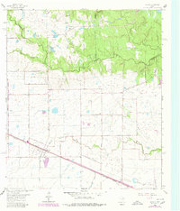
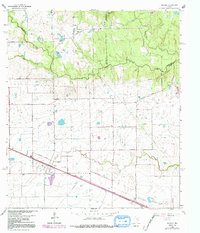
Editions of this 1962 Hockley Map
Other maps of this area
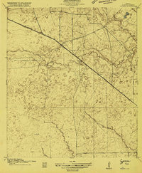
1915 · Cypress
USGS Topo · 1:24,000
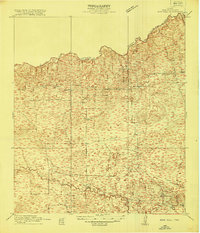
1916 · Rose Hill
USGS Topo · 1:24,000
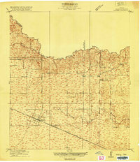
1916 · Hockley
USGS Topo · 1:24,000
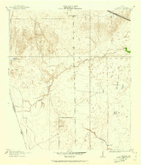
1916 · Swanson
USGS Topo · 1:24,000
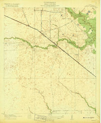
1918 · Cypress
USGS Topo · 1:31,680
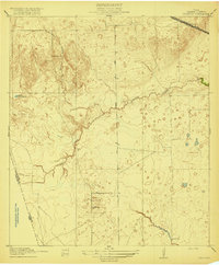
1919 · Swanson
USGS Topo · 1:31,680
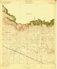
1920 · Hockley
USGS Topo · 1:31,680
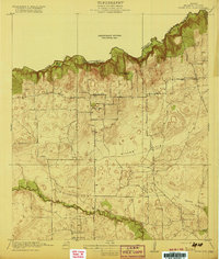
1920 · Rose Hill
USGS Topo · 1:31,680
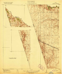
1920 · Waller
USGS Topo · 1:31,680

1950 · Houston
USGS Topo · 1:250,000