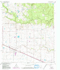
1962 Map of Hockley
USGS Topo · Published 1992About this map
Hockley serves as a focal point in this 1962 landscape, situated where the Southern Pacific railroad cuts through the flat prairie of western Harris County. The map captures a transition from traditional rural life to modern infrastructure, seen in the proximity of small country congregations like Macedonia Ch and First Ch to emerging recreational sites such as the Cam-Wood Club and Tenn-Wood Club. The presence of several family-named burial grounds, including Hegar Cem and Roberts Cem, provides essential points of reference for genealogists tracking local settlers.
Find a feature on this map
39 named features on this map. Tap any name to fly to it.
Don’t see what you’re looking for? This feature index may not catch every label — zoom into the map to look around manually.
Map Details
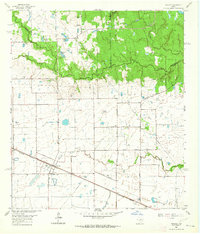
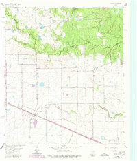
Editions of this 1962 Hockley Map
Other maps of this area

1915 · Cypress
USGS Topo · 1:24,000

1916 · Rose Hill
USGS Topo · 1:24,000

1916 · Hockley
USGS Topo · 1:24,000

1916 · Swanson
USGS Topo · 1:24,000

1918 · Cypress
USGS Topo · 1:31,680

1919 · Swanson
USGS Topo · 1:31,680

1920 · Hockley
USGS Topo · 1:31,680

1920 · Rose Hill
USGS Topo · 1:31,680

1920 · Waller
USGS Topo · 1:31,680

1950 · Houston
USGS Topo · 1:250,000