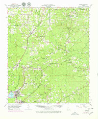
1953 Map of Hodge
USGS Topo · Published 1979About this map
The Dugdemona River basin defines this Jackson and Lincoln Parish landscape, captured during a period of industrial and rural transition. The Chicago Rock Island and Pacific railroad serves as the primary spine for commerce, connecting the industrial center at Hodge and the neighboring seat of Jonesboro with northern settlements like Quitman and Ansley. While the railroad remains active, a defunct Old Railroad Grade north of Ansley points to the shifting timber and transit needs of the early 20th century.
Find a feature on this map
80 named features on this map. Tap any name to fly to it.
Don’t see what you’re looking for? This feature index may not catch every label — zoom into the map to look around manually.
Map Details
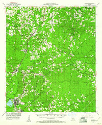
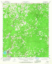
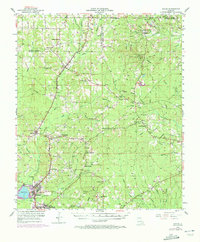
Editions of this 1953 Hodge Map
5 editions found

Other maps of this area

1947 · Goldonna
USGS Topo · 1:62,500

1947 · Bienville
USGS Topo · 1:62,500

1949 · Bienville
USGS Topo · 1:62,500

1949 · Jonesboro
USGS Topo · 1:62,500

1950 · Jonesboro
USGS Topo · 1:62,500

1950 · Ruston
USGS Topo · 1:62,500

1950 · Arcadia
USGS Topo · 1:62,500

1951 · Arcadia
USGS Topo · 1:62,500

1951 · Ruston
USGS Topo · 1:62,500

1952 · Calhoun
USGS Topo · 1:62,500