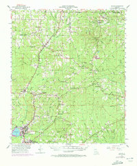
1953 Map of Hodge
USGS Topo · Published 1973About this map
The Chicago Rock Island and Pacific railroad corridor anchors the North Louisiana landscape, connecting the industrial centers of Hodge and Jonesboro with northern settlements like Quitman and Clay. This mid-century survey, with revisions from the early 1970s, captures a rural economy defined by timber and transit, evidenced by an Old Railroad Grade winding through the western hills. The map is particularly dense with community landmarks significant to family researchers, from the Saints Rest Sch to various rural congregations such as Beech Springs Ch and Hebron Ch. The terrain is shaped by the Dugdemona River and its numerous tributaries, including Sugar Bayou and Keppler Creek. Strategic points like the Vernon Lookout Tower and scattered gas wells reflect the region's managed forests and emerging energy extraction during this era of development.
Find a feature on this map
78 named features on this map. Tap any name to fly to it.
Don’t see what you’re looking for? This feature index may not catch every label — zoom into the map to look around manually.
Map Details
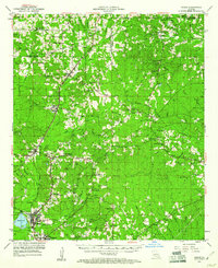
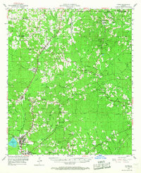
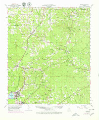
Editions of this 1953 Hodge Map
5 editions found

Other maps of this area

1947 · Goldonna
USGS Topo · 1:62,500

1947 · Bienville
USGS Topo · 1:62,500

1949 · Bienville
USGS Topo · 1:62,500

1949 · Jonesboro
USGS Topo · 1:62,500

1950 · Jonesboro
USGS Topo · 1:62,500

1950 · Ruston
USGS Topo · 1:62,500

1950 · Arcadia
USGS Topo · 1:62,500

1951 · Arcadia
USGS Topo · 1:62,500

1951 · Ruston
USGS Topo · 1:62,500

1952 · Calhoun
USGS Topo · 1:62,500